
The Canary Islands
Eight inhabited islands, each with its own climate, landscape and pace. Start with what you want from the trip — then pick the island.
Tenerife
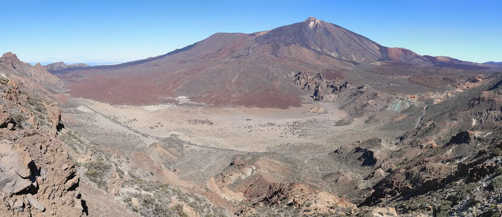
The largest and most populated Canary Island, crowned by Teide (3,715 m), Spain's highest peak. It combines a volcanic national park and a historic university town, both on the UNESCO World Heritage List, with sunny southern resorts and a greener, cooler north.
- Highest point
- Teide · 3.715 m
- Airports
- TFN · TFS
- Now in Costa Adeje
- 21° · Fog
Gran Canaria
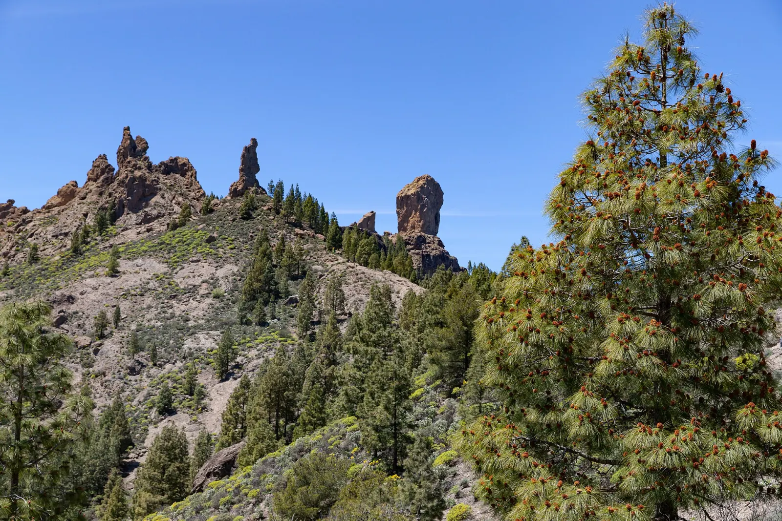
Round, mountainous Gran Canaria packs the Maspalomas dunes, a UNESCO-listed sacred landscape around Roque Nublo and Las Palmas, the largest city in the Canaries, into 1,560 km². Year-round sun in the south contrasts with greener northern valleys.
- Highest point
- Morro de la Agujereada · 1.956 m
- Airports
- LPA
- Now in Maspalomas
- 23° · Partly cloudy
Lanzarote
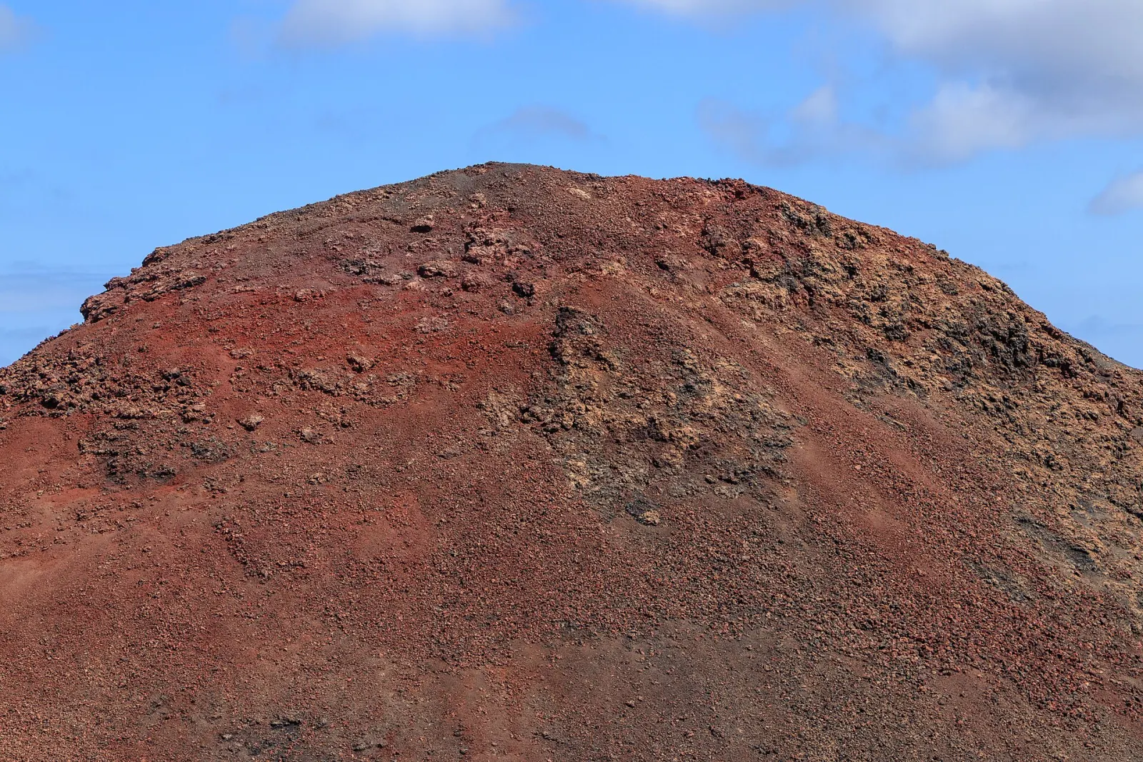
A low, volcanic island shaped by the 1730–1736 eruptions that created Timanfaya National Park, and by artist César Manrique, whose lava-cave venues and building rules still define its look. The whole island has been a UNESCO Biosphere Reserve since 1993.
- Highest point
- Peñas del Chache · 671 m
- Airports
- ACE
- Now in Puerto del Carmen
- 23° · Sunny
Fuerteventura
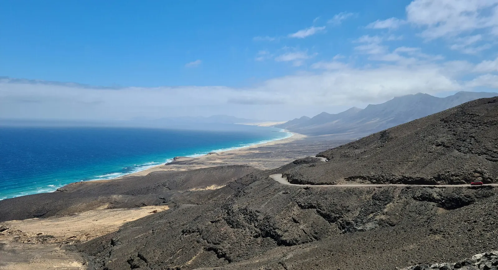
The second-largest Canary Island (1,660 km²) and the closest to Africa, Fuerteventura is known for long sandy beaches, the Corralejo dunes, wild Cofete and reliable wind for surfing and kitesurfing. The whole island has been a UNESCO Biosphere Reserve since 2009.
- Highest point
- Pico de la Zarza · 807 m
- Airports
- FUE
- Now in Corralejo
- 23° · Partly cloudy
La Palma
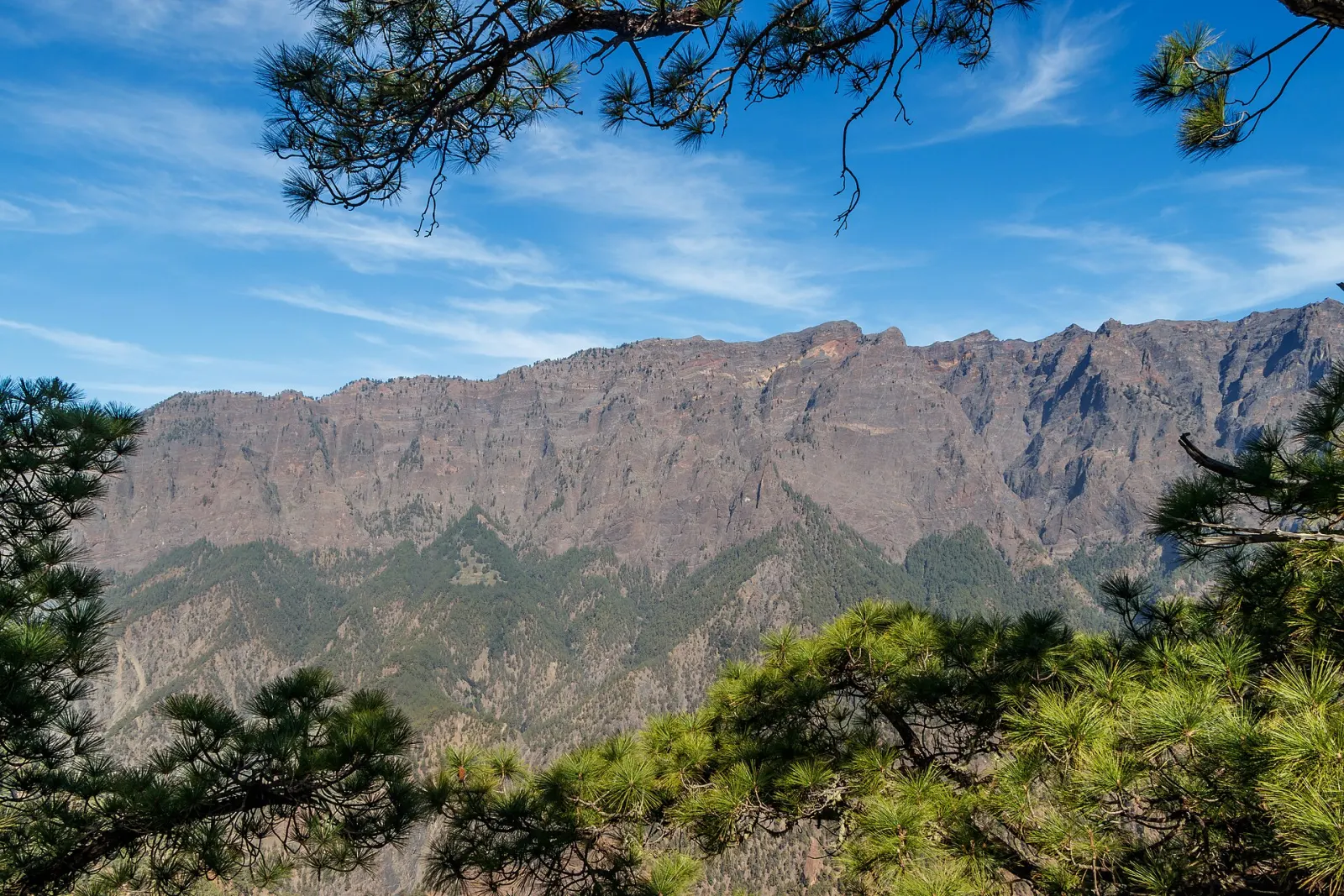
Steep, green La Palma rises to 2,426 m at Roque de los Muchachos, on the rim of the Caldera de Taburiente National Park, where international telescopes share the summit. A UNESCO Biosphere Reserve, it is a walking island, still recovering on its west side from the 85-day Tajogaite eruption of 2021.
- Highest point
- Roque de los Muchachos · 2.426 m
- Airports
- SPC
- Now in Santa Cruz de La Palma
- 22° · Cloudy
La Gomera
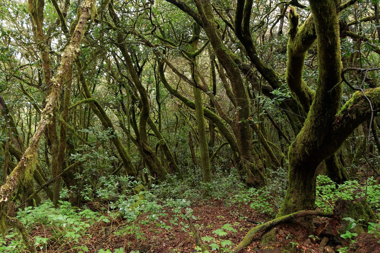
A small, round island of steep ravines 50 minutes by ferry from Tenerife, La Gomera is crowned by Garajonay National Park, a UNESCO World Heritage laurel forest since 1986. It is the home of Silbo Gomero, the whistled language on UNESCO's intangible heritage list, and a classic walking destination.
- Highest point
- Garajonay · 1.487 m
- Airports
- GMZ
- Now in San Sebastián de La Gomera
- 23° · Partly cloudy
El Hierro
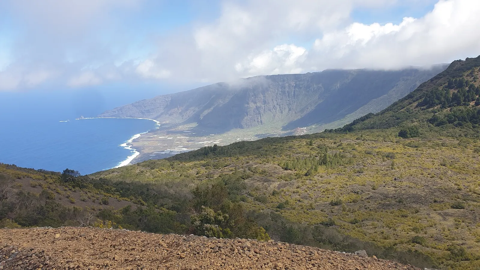
The smallest and westernmost of the seven main Canary Islands, El Hierro (269 km², about 12,000 people) is a UNESCO Biosphere Reserve and Global Geopark known for diving at La Restinga, natural rock pools, juniper-covered uplands and a pioneering wind–hydro power plant.
- Highest point
- Malpaso · 1.501 m
- Airports
- VDE
- Now in La Restinga
- 23° · Partly cloudy
La Graciosa
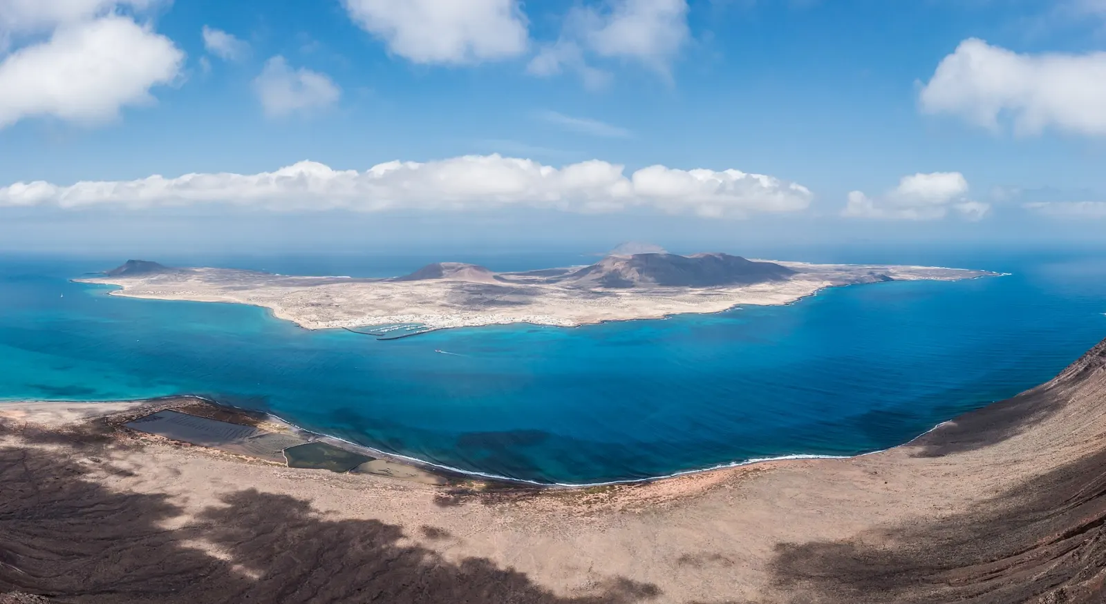
A 29 km² volcanic island off the northern tip of Lanzarote, reached only by a 25–30 minute ferry from Órzola. Recognised in 2018 as the eighth inhabited Canary Island, it has one village with sand streets, no private cars and beaches inside the Chinijo Archipelago Natural Park.
- Highest point
- Agujas Grandes · 266 m
- Main town
- Caleta de Sebo
- Now in Caleta de Sebo
- 22° · Partly cloudy