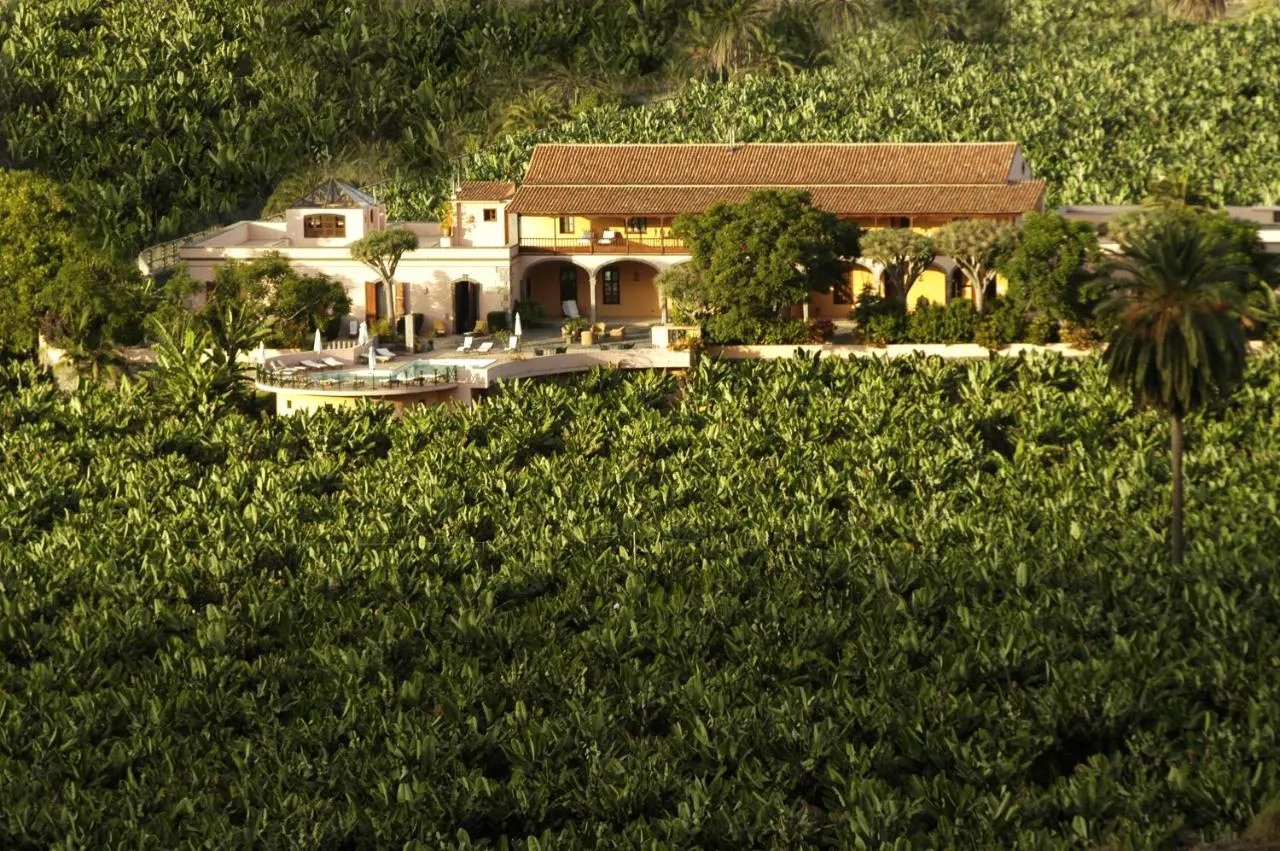
 Casas rurales
Arucas, Gran Canaria
Round, mountainous Gran Canaria packs the Maspalomas dunes, a UNESCO-listed sacred landscape around Roque Nublo and Las Palmas, the largest city in the Canaries, into 1,560 km². Year-round sun in the south contrasts with greener northern valleys.
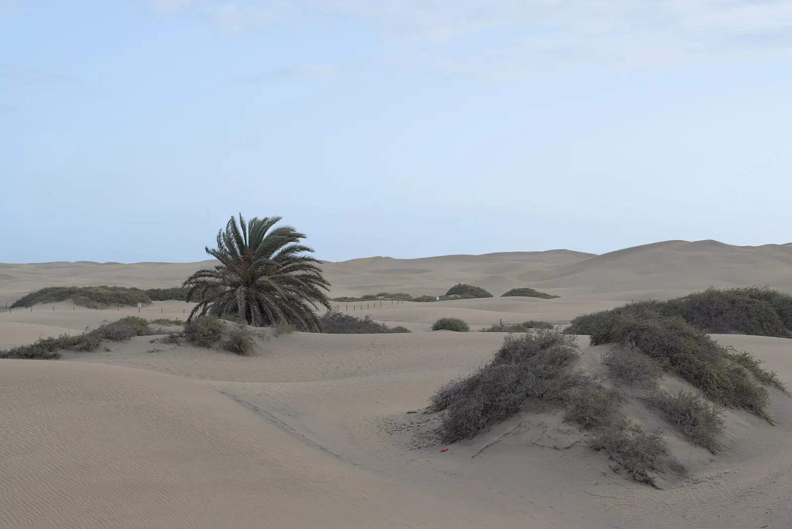
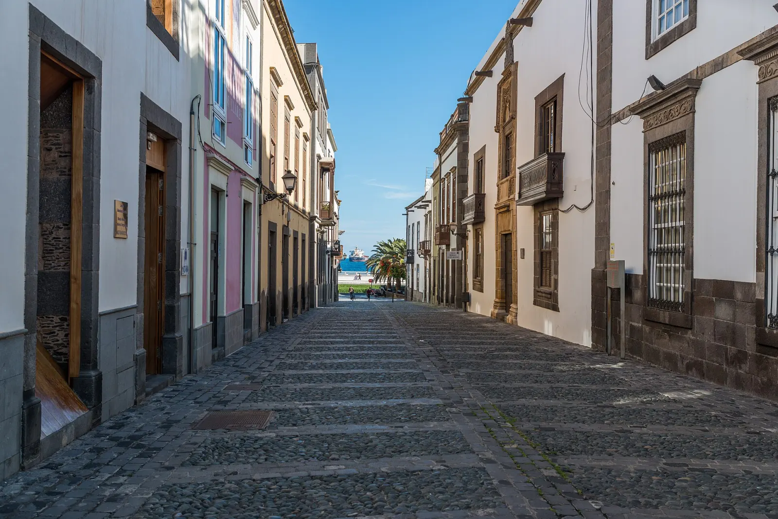
Gran Canaria is an almost circular island of 1,560 km² in the middle of the archipelago, home to 870,608 people on 1 January 2025 and to Las Palmas de Gran Canaria, the largest city in the Canary Islands. Its centre rises to 1,956 m at Morro de la Agujereada, next to the better-known Pico de las Nieves (1,949 m). Go for the contrast: the Maspalomas dunes and southern beaches, a mountain interior listed by UNESCO, and a real city with a historic quarter and an urban beach.
The phrase is a tourism slogan, but the geography behind it is real. Because the island is round and peaks in the middle, deep ravines (barrancos) radiate from the summit to the coast, and each side gets different weather. The north-east trade winds bring cloud and rain to the northern slopes, which are greener and more farmed; the south is dry, with long sunny beaches. A third of the island and its surrounding sea have been a UNESCO Biosphere Reserve since 2005, and the drive from the coast to the summit area takes you through pine forest, terraces and cave villages in little more than an hour.
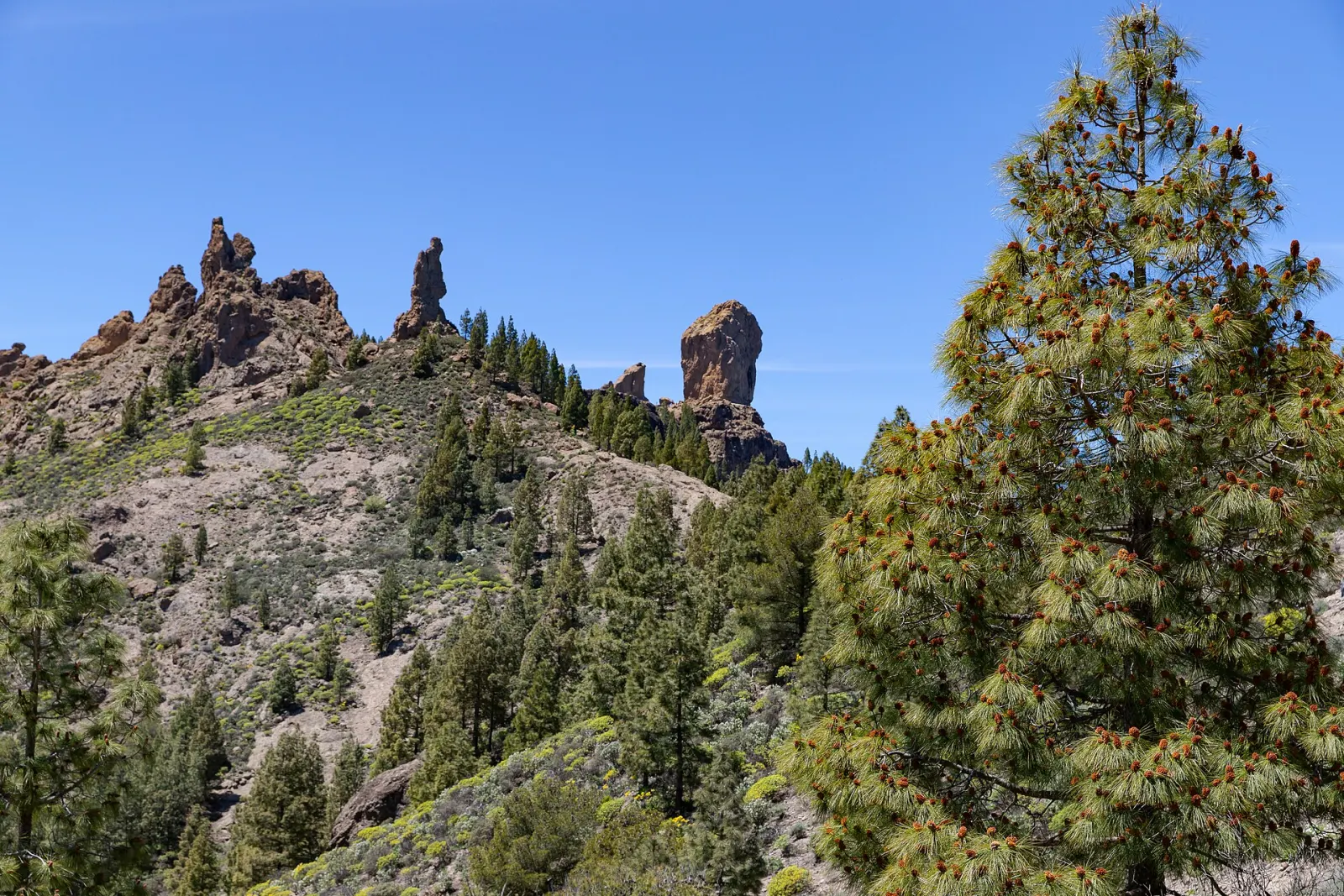
Risco Caído and the Sacred Mountains of Gran Canaria was inscribed as a World Heritage cultural landscape in July 2019. It covers a core area of 9,425 ha in the mountainous centre of the island and protects cave dwellings, granaries, cave temples and rock art left by the island's pre-Hispanic inhabitants, set in a landscape of cliffs and ravines dominated by Roque Nublo and Roque Bentayga. Separately, the Gran Canaria Biosphere Reserve (2005) covers much of the west and centre of the island and a marine area.
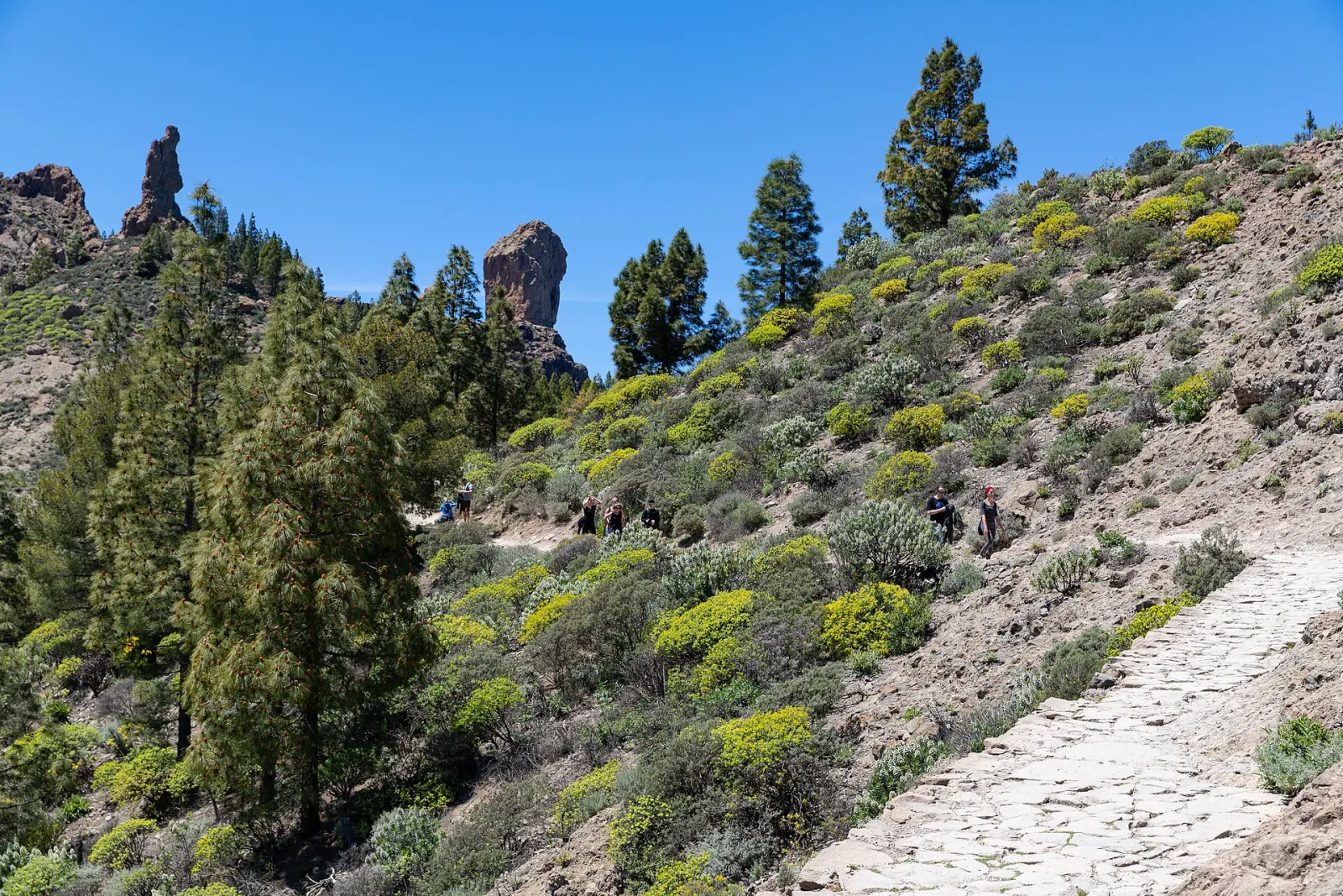
Roque Nublo, the volcanic monolith that has become the symbol of the island, is reached by a short, popular trail (see the Roque Nublo hike); the roadside car park is small and fills early, so arrive at the start of the day. The summit roads are winding and slow, temperatures can be ten degrees lower than on the coast, and cloud can roll in quickly in winter. Tejeda and Artenara are the usual bases for exploring the interior. The interior is also where winter rainfall is most likely, so pack a jacket even if the south is sunny.
The north and west coasts are more exposed, with stronger swell; check flags and local conditions before swimming.
Yes, even on a beach holiday. Las Palmas was founded on 24 June 1478 by Juan Rejón, and its first settlement was in Vegueta, now the old quarter with the cathedral of Santa Ana and the Casa de Colón museum, named after Columbus, who called at the island on his first voyage in 1492. The city has a population of 381,868 (2025) and the archipelago's busiest port, Puerto de La Luz. Its carnival is one of the largest in Spain.
The GC-1 motorway runs from Las Palmas past the airport to the south, so most of the coast is easy by car. Global runs the blue intercity buses (guaguas), with lines linking the airport, Las Palmas and the southern resorts, while Guaguas Municipales serves the capital. For the interior, a car gives much more freedom; drive slowly on mountain roads, which are narrow and used by cyclists.
The south is warm and dry all year, which makes winter high season. The interior is at its best from late winter to spring, when the almond trees blossom around Tejeda and the ravines are greener. Summer is hot in the south and the best time for mountain hiking is early morning. Look out for local fiestas such as the Fiesta de la Rama in Agaete in early August. For monthly averages, see our weather guide.
Forecast for Maspalomas
Pick the area first — it shapes the whole trip.
Casas rurales
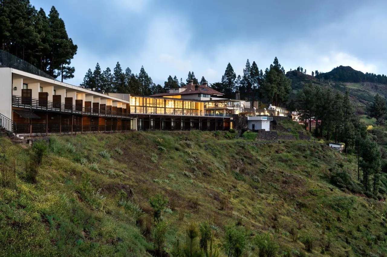 Hotels
Airports: LPA
By air: Gran Canaria Airport (LPA) lies on the east coast, on the GC-1 motorway between Las Palmas and the southern resorts.
By ferry: Fred. Olsen Express runs Agaete–Santa Cruz de Tenerife (about 80 min) and Las Palmas–Morro Jable on Fuerteventura (about 2 h). Naviera Armas sails from Las Palmas to Santa Cruz de Tenerife, Morro Jable and Arrecife (Lanzarote), among other routes. Check the operators' current timetables before travelling.