
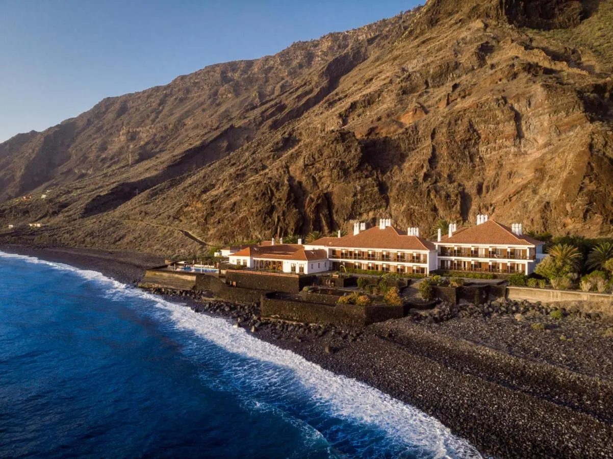
 Hotels
Las Playas, El Hierro
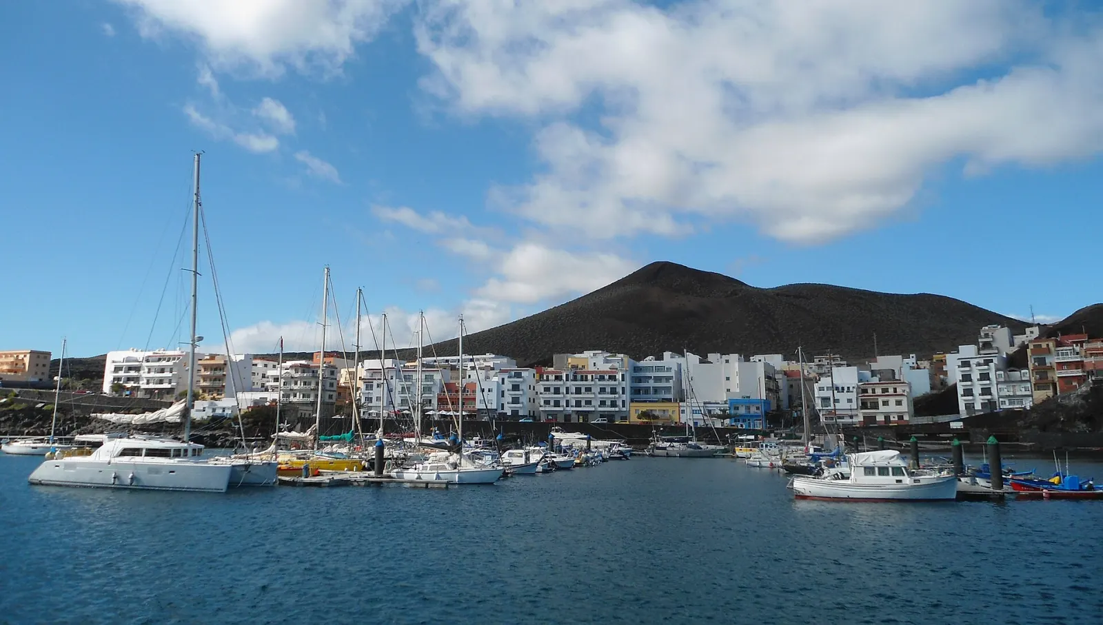
The smallest and westernmost of the seven main Canary Islands, El Hierro (269 km², about 12,000 people) is a UNESCO Biosphere Reserve and Global Geopark known for diving at La Restinga, natural rock pools, juniper-covered uplands and a pioneering wind–hydro power plant.
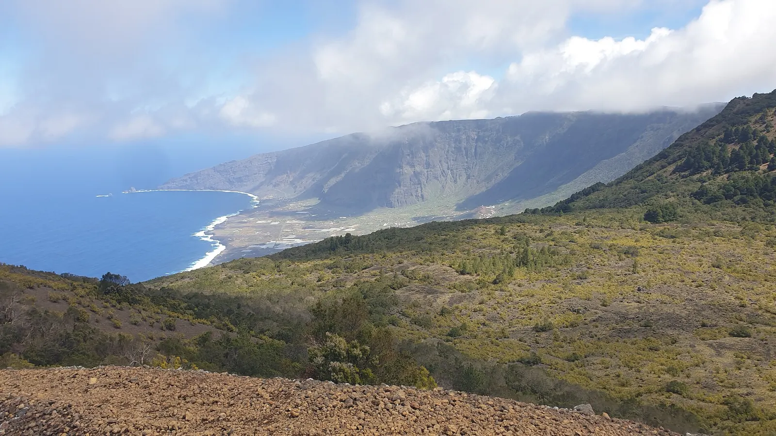
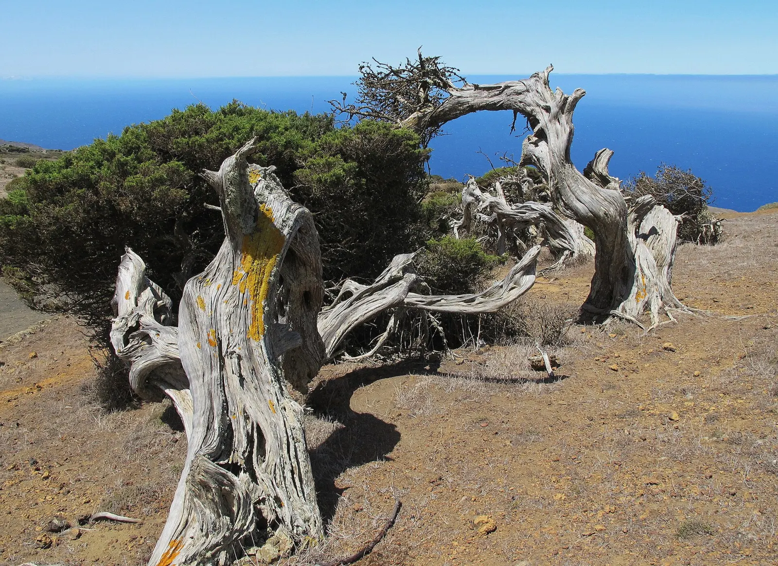
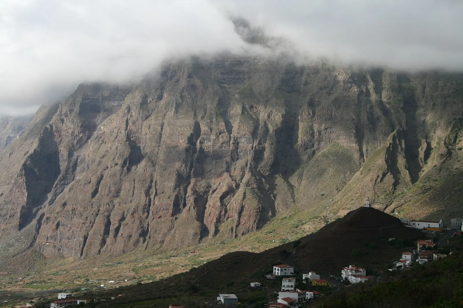
El Hierro is the smallest of the seven main Canary Islands, at 269 km², and the least populated, with 12,040 residents on 1 January 2025. It is also the westernmost: Punta de la Orchilla is the westernmost point of Spain. The island rises to 1,501 m at Malpaso. Go for scuba diving and snorkelling in clear, calm water off La Restinga, volcanic coastlines with natural swimming pools, upland walks through pine and juniper woodland, and a slower pace than anywhere else in the archipelago.
El Hierro has been a UNESCO Biosphere Reserve since 2000 and a UNESCO Global Geopark since 2014, both covering the whole island. Its landscape is young and volcanic: in October 2011 a submarine eruption began a few kilometres off the southern tip, near La Restinga, building a new underwater volcano now called Tagoro; residents of La Restinga were temporarily evacuated and the eruption ended in March 2012. Historically, the island marked the edge of the known world: Ptolemy placed the prime meridian in the Canaries, and the "Ferro meridian" through El Hierro was used on many maps until Greenwich replaced it from 1884.
The island is also known for its energy project. Gorona del Viento, a wind farm combined with a pumped-storage hydroelectric system, began operating in 2014 and now supplies roughly half of the island's electricity, with fossil-fuel generators still covering the rest.
Not in the conventional sense. There are few sandy beaches; most bathing is in natural rock pools and small coves with ladders and platforms, such as Charco Azul, La Maceta or Tamaduste. These are lovely when the sea is calm but can be dangerous in swell, so check conditions and local warnings. The south, especially around La Restinga, is usually calmer.
A car is the practical option. Roads are steep and winding, and the island looks smaller on the map than it feels when driving: from Valverde to La Restinga or to El Golfo takes longer than the distances suggest. Buses connect the main villages but with limited frequency. Fog and low cloud are common on the upland roads, especially in winter, so drive carefully and allow time.
Because sailings and flights are limited and roads are slow, El Hierro rewards longer stays. Three or four days allow one day for El Golfo and its pools, one for the western uplands (El Sabinar and the Orchilla lighthouse area), one for La Restinga and the sea, and a spare day for weather. Divers usually plan a week.
It suits divers and snorkellers, walkers, and travellers looking for quiet, rural stays and very limited mass tourism. It is not a nightlife or big-resort destination, and services are more limited, particularly outside Valverde and Frontera. Many visitors combine it with La Gomera or La Palma on a western-islands trip, starting from Tenerife.
The coast is mild all year. Calm seas for diving are most frequent from late summer to autumn, while the uplands are cooler and often misty in winter. Ferries and small planes can be affected by strong wind or swell, so build a buffer day into tight itineraries, especially when connecting with international flights.
Forecast for La Restinga
Pick the area first — it shapes the whole trip.
Hotels
Airports: VDE
By air: El Hierro Airport (VDE) is on the east coast near Valverde, with inter-island flights, mainly to Tenerife and Gran Canaria.
By ferry: ferries use the port of La Estaca, near Valverde. Fred. Olsen Express lists Los Cristianos (Tenerife)–El Hierro (about 2 h 20 min) and a Gran Canaria–El Hierro route (about 3 h 40 min); Naviera Armas also serves El Hierro. Sailings are less frequent than to the larger islands, so check current timetables with the operators.