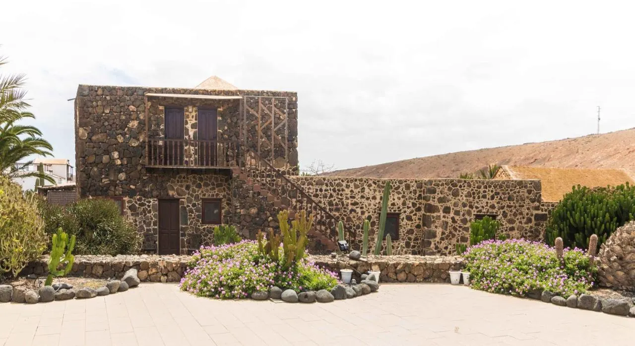
 Casas rurales
Villaverde, Fuerteventura
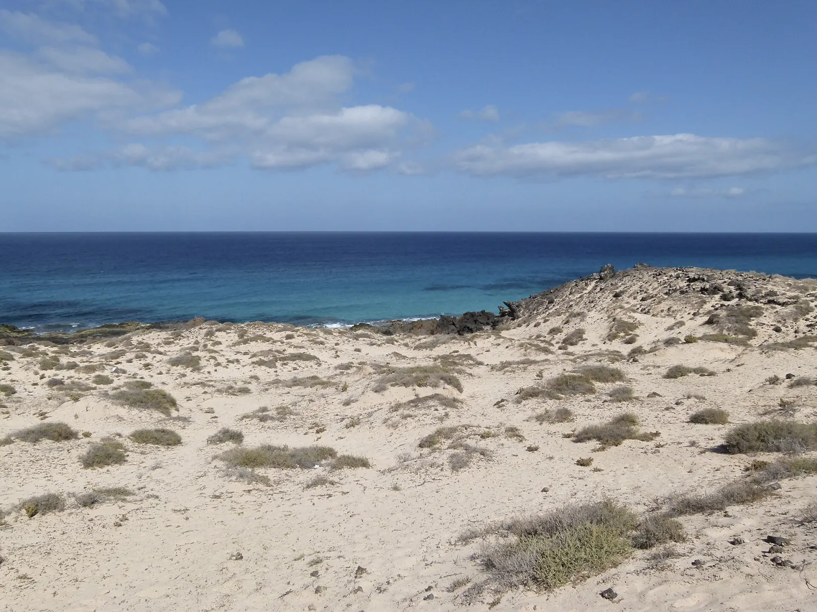
The second-largest Canary Island (1,660 km²) and the closest to Africa, Fuerteventura is known for long sandy beaches, the Corralejo dunes, wild Cofete and reliable wind for surfing and kitesurfing. The whole island has been a UNESCO Biosphere Reserve since 2009.
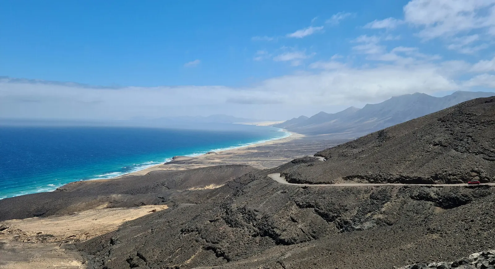
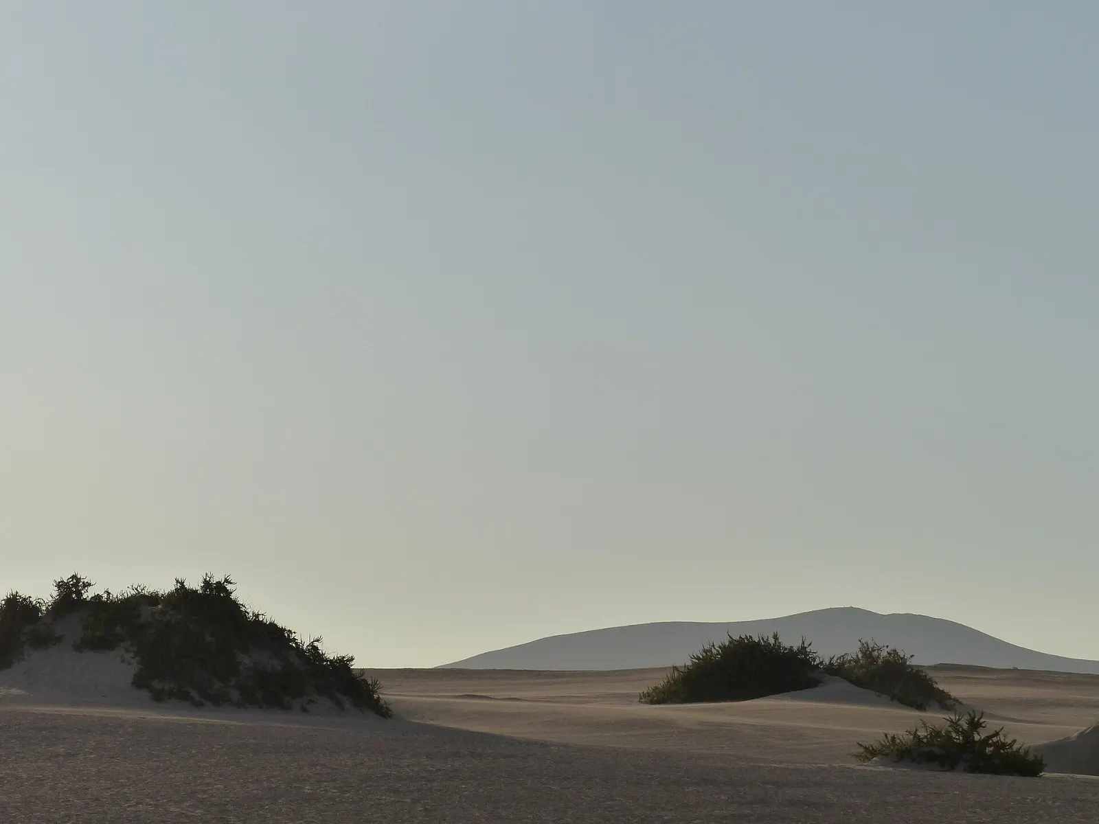
Fuerteventura is the second-largest of the Canary Islands (1,660 km²) but one of the least densely populated, with 129,541 residents on 1 January 2025. It is a long, dry, mostly flat island of eroded volcanic hills, whose highest point, Pico de la Zarza (807 m), stands in the Jandía massif in the far south. Go for space and sand: dune fields, beaches that run for kilometres, constant trade winds for water sports and a quiet interior of old villages.
It is the oldest of the islands geologically and the most eroded, so instead of steep volcanic peaks it has rounded hills, wide plains and huge stretches of pale sand. It is also the closest island to the African coast. The trade winds blow almost constantly, especially in summer, which is why the island is a centre for windsurfing, kitesurfing and surfing. The whole island and its surrounding sea have been a UNESCO Biosphere Reserve since 2009, and around 13 protected natural areas cover roughly 477 km², close to a third of the land.
The wind makes a hot day feel mild, but it also means blown sand on exposed beaches, a real risk of sunburn without feeling the heat, and rough water on the west coast. Northern and western beaches face open Atlantic swell with strong currents; check the flags and ask locally before swimming. For learning water sports, the east-coast lagoons and the beaches around Corralejo have schools that adapt spots to the day's conditions.
Yes. Betancuria, founded in 1404 by the Norman conquerors Jean de Béthencourt and Gadifer de La Salle, was the island's capital until 1834 and keeps a historic church and a quiet centre in a sheltered valley. Around it, viewpoints on the mountain roads look over the volcanic interior. The island is also known for majorero goat's cheese, and windmills are a common sight in the interior.
Lobos, a small protected islet a short boat ride from Corralejo, is a popular half-day trip for walking and snorkelling. Visits require free prior authorisation from the Cabildo de Fuerteventura (the official LobosPass system), with limited places and time slots, so arrange it before buying a boat ticket.
The island is long: the drive from Corralejo in the north to Morro Jable in the south takes well over an hour along the FV-1 and FV-2. A car is the practical choice. The airport (FUE) is centrally located on the east coast near the capital, Puerto del Rosario, which makes either end of the island reachable on arrival day. Public buses link the airport and Puerto del Rosario with the main resorts. If you want to see both the north and the Jandía peninsula, consider splitting your stay between two bases rather than driving the length of the island every day; Cofete alone deserves an unhurried day, because the track is slow and there are no services on the beach.
Fuerteventura is sunny and dry almost all year, with very little rain. Winter is the main beach season for northern Europeans; summer brings the strongest winds, which suit wind and kite sports but can make beach days uncomfortable. Calima episodes are relatively frequent on the eastern islands. If you are deciding between this island and its neighbour, see Lanzarote, a 25–35 minute ferry ride away, and our guide to which Canary Island is right for you.
Forecast for Corralejo
Pick the area first — it shapes the whole trip.
Casas rurales
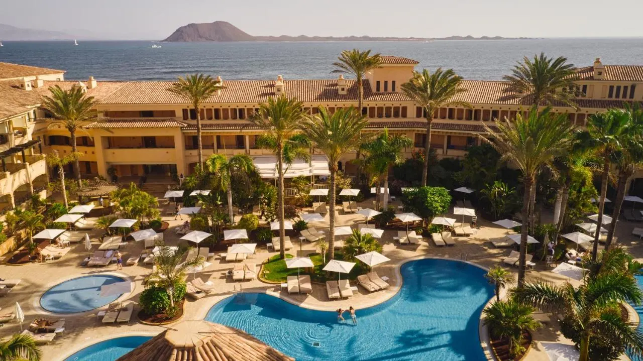 Resorts · Adults only
Airports: FUE
By air: Fuerteventura Airport (FUE) is at El Matorral, about 5 km south-west of Puerto del Rosario.
By ferry: Corralejo–Playa Blanca (Lanzarote) is served by Fred. Olsen Express, Naviera Armas and Líneas Romero (about 25–35 min). From Morro Jable, Fred. Olsen Express and Naviera Armas sail to Las Palmas de Gran Canaria (about 2 h with Fred. Olsen), and Fred. Olsen also lists a Fuerteventura–Tenerife route (about 3 h 20 min). Check current timetables with the operators.