
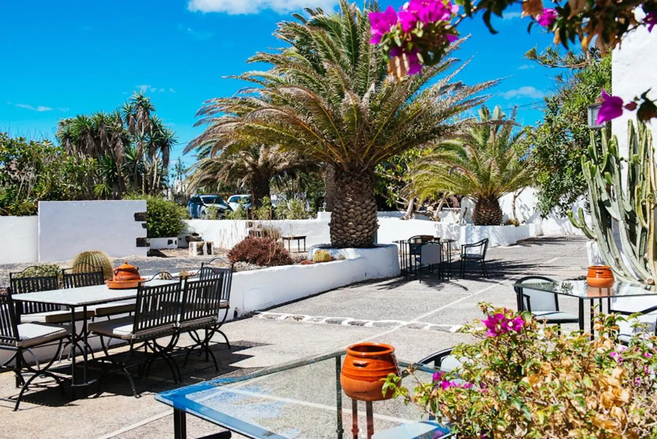
 Casas rurales
Lanzarote
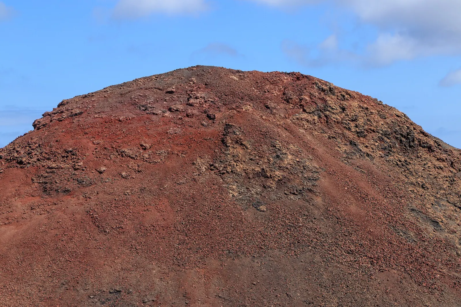
A low, volcanic island shaped by the 1730–1736 eruptions that created Timanfaya National Park, and by artist César Manrique, whose lava-cave venues and building rules still define its look. The whole island has been a UNESCO Biosphere Reserve since 1993.
- Biosphere reserve
- Whole island (1993)
- UNESCO Global Geopark
- Lanzarote and Chinijo Islands (2015)
- National park
- Timanfaya (1974)
- Great eruption
- 1730–1736
- Airport
- César Manrique-Lanzarote (ACE)
Volcanic landscapes
Architecture
Surfing
Wine
Families
Lanzarote is the north-easternmost of the main Canary Islands: 846 km² of volcanic landscape rising to only 671 m at Peñas del Chache. Its official population, which by convention includes neighbouring La Graciosa, was 167,406 on 1 January 2025. Go for the lava fields of Timanfaya, the cave venues and viewpoints designed by César Manrique, and a coastline that ranges from calm southern beaches to the surf of Famara.
Why does Lanzarote look so different?
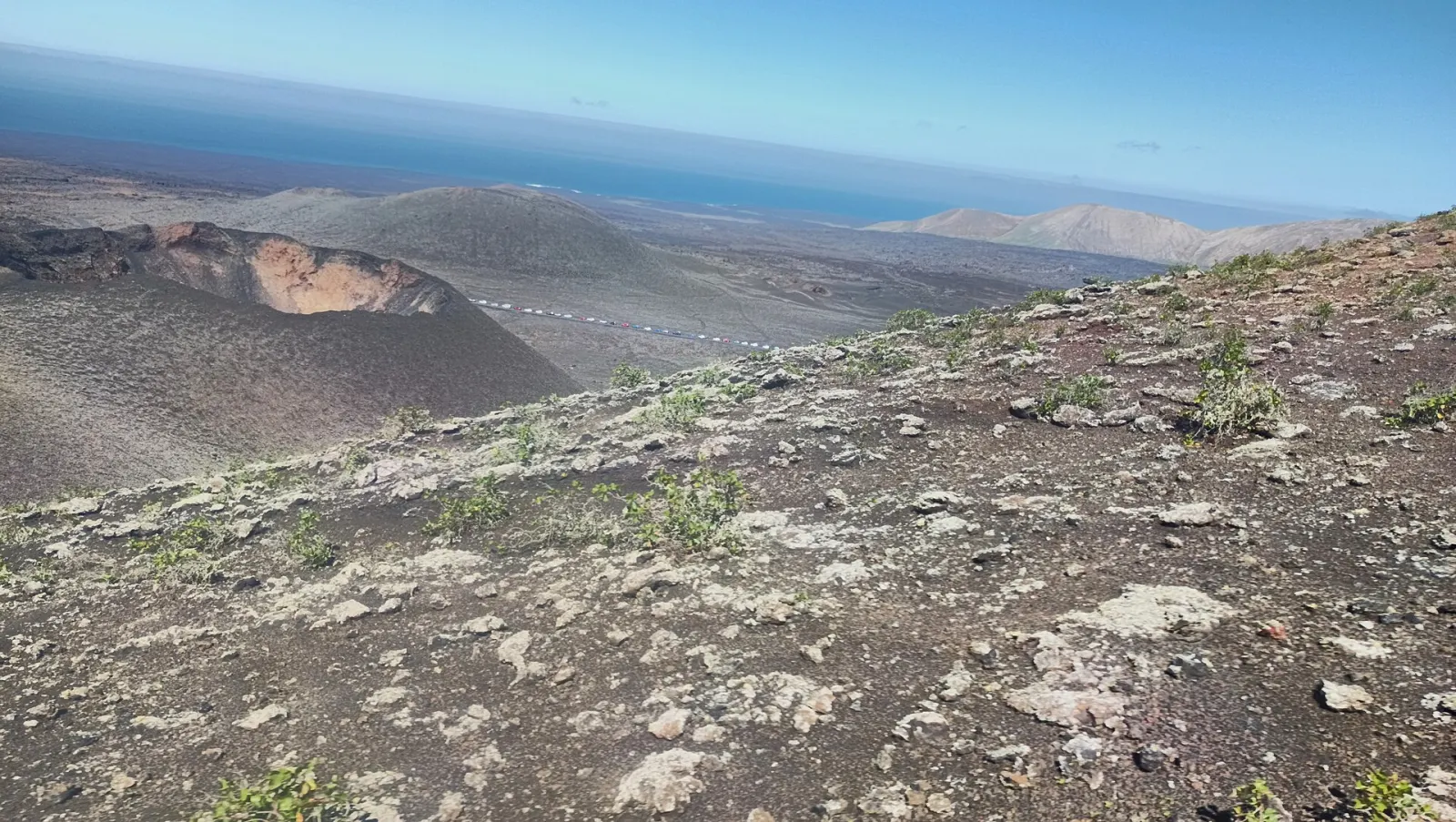
Two things shaped it. The first is the eruption series that began on 1 September 1730 and ended on 16 April 1736, one of the longest in the archipelago's recorded history. It buried villages and farmland in the south-west under lava and ash, creating the landscape now protected as Timanfaya National Park (declared in 1974, about 5,107 ha). The second is César Manrique (1919–1992), the Arrecife-born artist who turned volcanic caves and cliffs into public spaces and campaigned against high-rise tourism. Low whitewashed houses with green or blue woodwork are the result of that vision, and the island has been a UNESCO Biosphere Reserve since 1993. Since 2015, Lanzarote and the Chinijo Islands have also formed a UNESCO Global Geopark.
What are the must-see places?
- Timanfaya National Park: the volcanic heart of the island. The main way in is the Route of the Volcanoes, a coach tour from the Islote de Hilario visitor area, because walking freely inside the park is not allowed.
- Jameos del Agua: a collapsed section of a lava tube that Manrique turned into a venue with a saltwater lagoon and an auditorium (opened 1977).
- Cueva de los Verdes: a guided walk through another part of the same lava tube, on the north-east coast.
- Mirador del Río: a 1973 Manrique viewpoint built into the cliffs at the north tip, overlooking the strait and La Graciosa.
- La Geria: vineyards planted in hollows dug into the volcanic ash and protected by low stone walls, a farming method born after the 18th-century eruptions.
Most Manrique sites are run by the Cabildo's tourism centres and charge an entry fee; combined tickets exist, and the official websites list current prices and opening hours.
Which beaches suit which traveller?
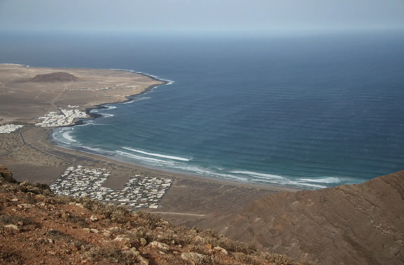
The south and east (Playa Blanca, Puerto del Carmen, Costa Teguise) have the calmest water and most services. Papagayo, a series of coves south-east of Playa Blanca, is reached by a dirt track inside a protected area. The north-west, around Caleta de Famara, is exposed to Atlantic swell and wind, which makes it a surf and kitesurf centre but often unsafe for casual swimming; currents there are strong, so respect red flags.
What should you know about the weather?
Lanzarote is one of the driest islands. Without high mountains to catch the trade winds, it gets little rain and steady wind, especially in summer. That wind makes hot days feel milder but can blow sand on exposed beaches and make sea crossings choppy. Shade is scarce in Timanfaya and on the lava fields, so carry water and sun protection. Calima (Saharan dust) episodes are more frequent on the eastern islands, reducing visibility.
How do you get around Lanzarote?
Distances are short: Arrecife sits in the middle of the east coast, and most sights are under an hour away by car. A car is the easiest way to combine Timanfaya, La Geria and the northern Manrique sites in one day. Public buses connect Arrecife with the main resorts, but service to the sights in the north and inside Timanfaya is limited.
How many days do you need?
Three full days cover the essentials: one for Timanfaya and the La Geria wine area in the south-west, one for the northern Manrique sites (Jameos del Agua, Cueva de los Verdes and Mirador del Río are close to each other) and one for the beaches. The Cueva de los Verdes is visited in guided groups, so allow for waiting at busy times. Add a fourth day for La Graciosa or Fuerteventura.
Who is Lanzarote best for?
It suits travellers interested in landscapes, architecture and design, wine, and water sports, as well as families who want calm beaches in the south. It is less suited to forest hiking or high-mountain walks, which are better on La Palma or Tenerife. A popular add-on is a day or more on La Graciosa, reached by ferry from Órzola, or the short crossing to Fuerteventura. Compare islands in which Canary Island is right for you.
Weather this week
All islands →Forecast for Puerto del Carmen
Today
29°
22°
Thu
28°
21°
Fri
27°
20°
Sat
25°
20°
Sun
28°
22°
Mon
28°
23°
Tue
28°
22°
Now 23° · Sunny
Sea 24°
Where to stay in Lanzarote
Pick the area first — it shapes the whole trip.
South
Puerto del Carmen
Long-established resort with a long beach promenade, close to the airport.
South
Playa Blanca
Southern resort with calm water, near Papagayo and the ferry to Corralejo.
East
Costa Teguise
Resort north of Arrecife; beaches and a good base for the northern Manrique sites.
East
Arrecife
The capital: local life, the port and central position for bus connections.
North-west
Caleta de Famara
Low-key village by a long surf beach; wind and swell most of the year.
North
Haría · Órzola
Quiet green north with the Valley of a Thousand Palms and ferries to La Graciosa.
Casas rurales
 Resorts
Playa Blanca, Lanzarote
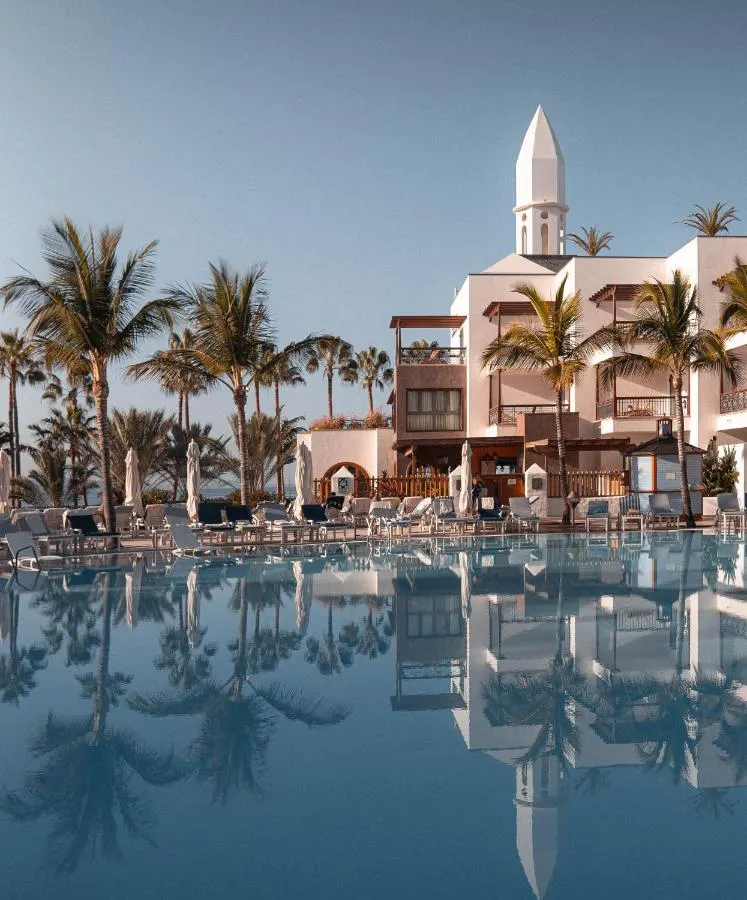
Princesa Yaiza Suite Hotel Resort
Five-star family resort on Playa Dorada, Playa Blanca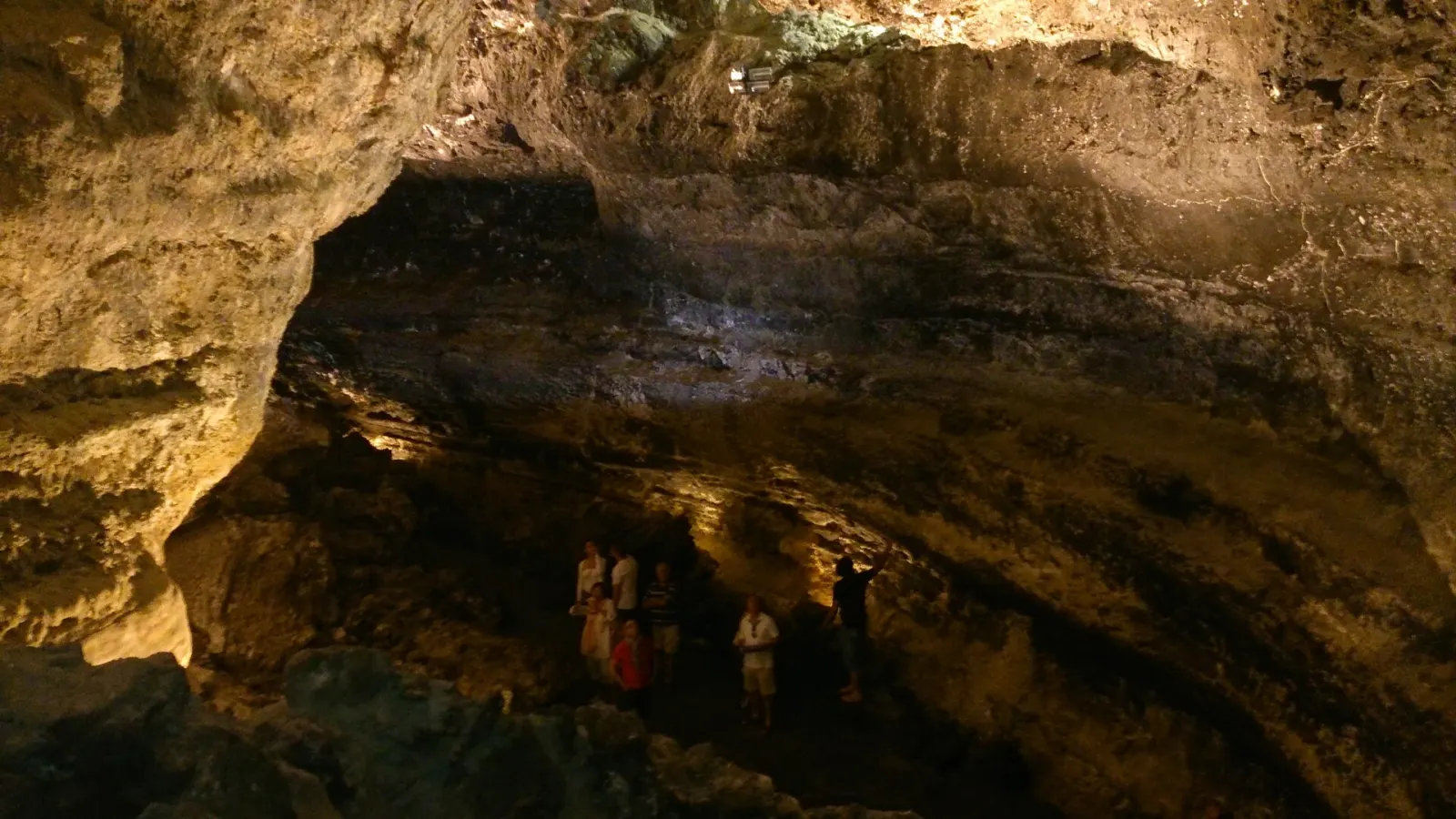
Getting there
Airports: ACE
By air: César Manrique-Lanzarote Airport (ACE) is on the south-east coast, between Arrecife and Puerto del Carmen.
By ferry: from Playa Blanca to Corralejo on Fuerteventura (Fred. Olsen Express, Naviera Armas and Líneas Romero; about 25–35 min). From Órzola to Caleta de Sebo on La Graciosa (Líneas Romero and Biosfera Express; about 25–30 min). From Arrecife, Naviera Armas sails to Las Palmas de Gran Canaria and Santa Cruz de Tenerife. Check current timetables with the operators.