Which Canary Island is right for you? An honest comparison of all eight
Tenerife, Gran Canaria, Lanzarote, Fuerteventura, La Palma, La Gomera, El Hierro and La Graciosa compared by what they actually suit — with a comparison table, access notes and common misjudgements.
Published 28 October 2026 · Facts checked on 28 October 2026
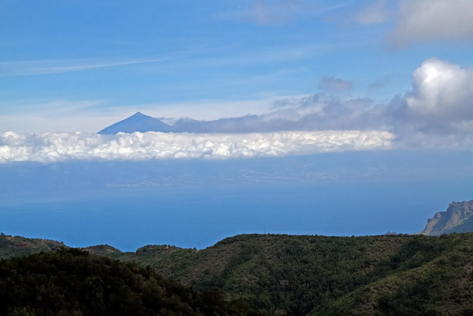
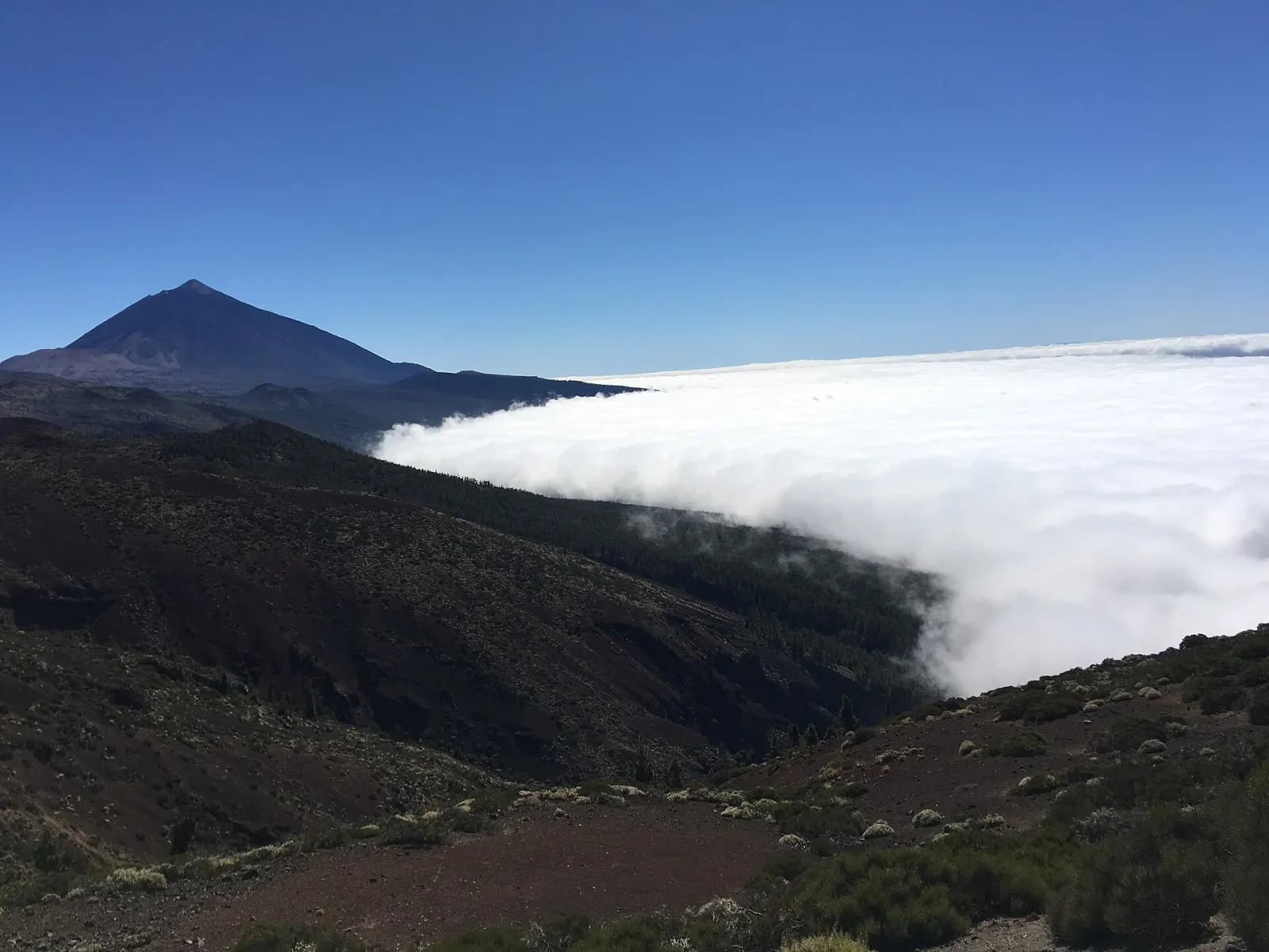
The Canary Islands are eight inhabited volcanic islands off north-west Africa, and they differ far more than the shared "year-round sun" label suggests: from Tenerife, with Spain's highest peak (Teide, 3,715 m), to La Graciosa, a 29 km² island with sand streets and no paved roads. This guide compares all eight by what they actually suit — hiking, beaches, culture, quiet, ease of access — using official and reference figures, so you can match an island to your trip rather than to its reputation.
How different are the eight Canary Islands?
Three things drive the differences: size and relief, position and how you get there.
- Relief. The western islands are high and steep. Tenerife rises to 3,715 m, La Palma to 2,423 m (Roque de los Muchachos) and Gran Canaria to 1,949 m (Pico de las Nieves). Fuerteventura, the oldest and most eroded, tops out at 807 m.
- Position. The influence of the moist Atlantic air weakens towards Africa, so the eastern islands (Lanzarote, Fuerteventura, La Graciosa) are noticeably drier and barer, while La Palma, La Gomera and El Hierro stay green even at lower levels.
- Access. Tenerife, Gran Canaria, Lanzarote, Fuerteventura and La Palma have airports with direct flights from many European cities. La Gomera's small airport mainly links with other islands, so most visitors arrive by ferry from Los Cristianos in south Tenerife. La Graciosa has no airport: it is reached by a short ferry crossing from Órzola, in the north of Lanzarote.
Which island suits what? A quick comparison
| Island | Area | Highest point | Best suited to | Think twice if… |
|---|---|---|---|---|
| Tenerife | 2,034 km² | Teide, 3,715 m | Mixing beach, mountains, towns and day trips | You want somewhere small and quiet |
| Gran Canaria | 1,560 km² | Pico de las Nieves, 1,949 m | City life plus dunes and mountain villages | You only want a remote, low-key stay |
| Lanzarote | 846 km² | — | Volcanic landscapes, design, wine | You want lush forest walks |
| Fuerteventura | 1,660 km² | Pico de la Zarza, 807 m | Long beaches, wind and wave sports | You want shade, forests or big-city culture |
| La Palma | 708 km² | Roque de los Muchachos, 2,423 m | Serious hiking, dark skies | You want an easy beach holiday |
| La Gomera | 370 km² | — | Walking, laurel forest, slow travel | You dislike ferries and winding roads |
| El Hierro | 269 km² | — | Diving, remoteness, very low-key stays | You want nightlife or long sandy beaches |
| La Graciosa | 29 km² | — | Car-free days, simple beaches | You need shops, choice or nightlife |
Areas from the Wikipedia "Canary Islands" article; Lanzarote, La Gomera and El Hierro peaks are left blank because we did not verify them for this comparison.
Which island is best for a first visit?
Tenerife is the most rounded choice. It has two airports (north and south), the widest range of places to stay and the most variety within an hour's drive: the Teide National Park (UNESCO World Heritage since 2007), the old town of La Laguna (also World Heritage), the laurel forest of Anaga and the whale-watching harbours of the south-west. The catch is that the island's two halves feel different: AEMET's 1981–2010 normals give the Tenerife South airport station 132 mm of rain a year against 520 mm at Tenerife North, 632 m up. Pick your base by the weather you want.
Gran Canaria is the alternative for travellers who like a real city: Las Palmas de Gran Canaria is the archipelago's largest. Inland, Roque Nublo (1,813 m) and the cultural landscape of Risco Caído and the Sacred Mountains — inscribed on the World Heritage List in 2019 — are a short drive from the Maspalomas dunes in the south. About a third of the island is a UNESCO biosphere reserve.
Which island is best for hiking?
La Palma and La Gomera are the hikers' islands. La Palma is a biosphere reserve in its entirety, its Caldera de Taburiente has been a national park since 1954 and its ridges climb above 2,400 m. The island also reminds you that it is volcanically active: the Cumbre Vieja eruption began on 19 September 2021.
La Gomera is smaller and steeper. Its Garajonay National Park, protecting laurel forest, has been a World Heritage Site since 1986, and the island's whistled language, Silbo Gomero, was added to UNESCO's intangible heritage list in 2009. Expect short distances on the map but slow, winding roads.
Tenerife also suits walkers — Anaga, Teno and the Teide high country — and has the bonus of the most flight options.
Which island is best for beaches?
For long, pale sand, Fuerteventura is the obvious match: it is the second-largest island, low and arid, and declared a biosphere reserve in 2009. Its dunes at Corralejo and the wild beach of Cofete are the best-known stretches. The trade-off is wind, which is excellent for surfing and kitesurfing but less so for a sheltered day on a towel.
Gran Canaria's south (Maspalomas) and Tenerife's south-west are drier and more sheltered than their northern coasts. On the western islands, many beaches are dark volcanic sand or pebbles, and Atlantic swell can make some unsafe to swim — check local flags.
Which island has the most striking volcanic scenery?
Lanzarote. The eruptions of 1730–1736 buried a large part of the island, and the area is now Timanfaya National Park (created in 1974). The whole island has been a UNESCO biosphere reserve since 1993. Lanzarote's look also owes much to artist César Manrique (1919–1992), whose name the airport has carried since 2019. Wine growers in La Geria plant vines in pits dug through the volcanic ash, each sheltered by a low stone wall.
Which islands are quietest?
- El Hierro is the westernmost and least populated of the main islands, a biosphere reserve since 2000, with building heights limited to keep its traditional look. It suits divers (La Restinga, in the south) and people who want very little to do.
- La Graciosa, declared the eighth Canary Island in 2018, lies 2 km north of Lanzarote. Its streets are unpaved sand and motor vehicles are limited to a small number of licensed vehicles. Most visitors stay in Caleta de Sebo or come for the day from Lanzarote.
- La Gomera, outside its port town, is also calm.
Can you combine islands in one trip?
Yes, and it is often the best way to see the contrast. Combinations that need only one short ferry or flight:
- Tenerife + La Gomera — ferries from Los Cristianos.
- Lanzarote + La Graciosa — ferry from Órzola; a day trip is possible.
- Lanzarote + Fuerteventura — the two are separated only by a narrow strait.
- Tenerife or Gran Canaria + La Palma or El Hierro — inter-island flights.
Check current timetables directly with the ferry and airline operators, as schedules change by season.
What do people commonly misjudge?
- Distances on the map. Mountain roads on Tenerife, La Gomera and La Palma are slow; a 30 km trip can take an hour.
- Temperature at altitude. Mean January minimums at Izaña (2,369 m, Tenerife) are close to freezing in AEMET's normals. Pack layers for Teide or La Palma's summit even in summer.
- "The weather on the island." North and south coasts of the same island can have very different days. See our month-by-month weather guide and the live weather page.
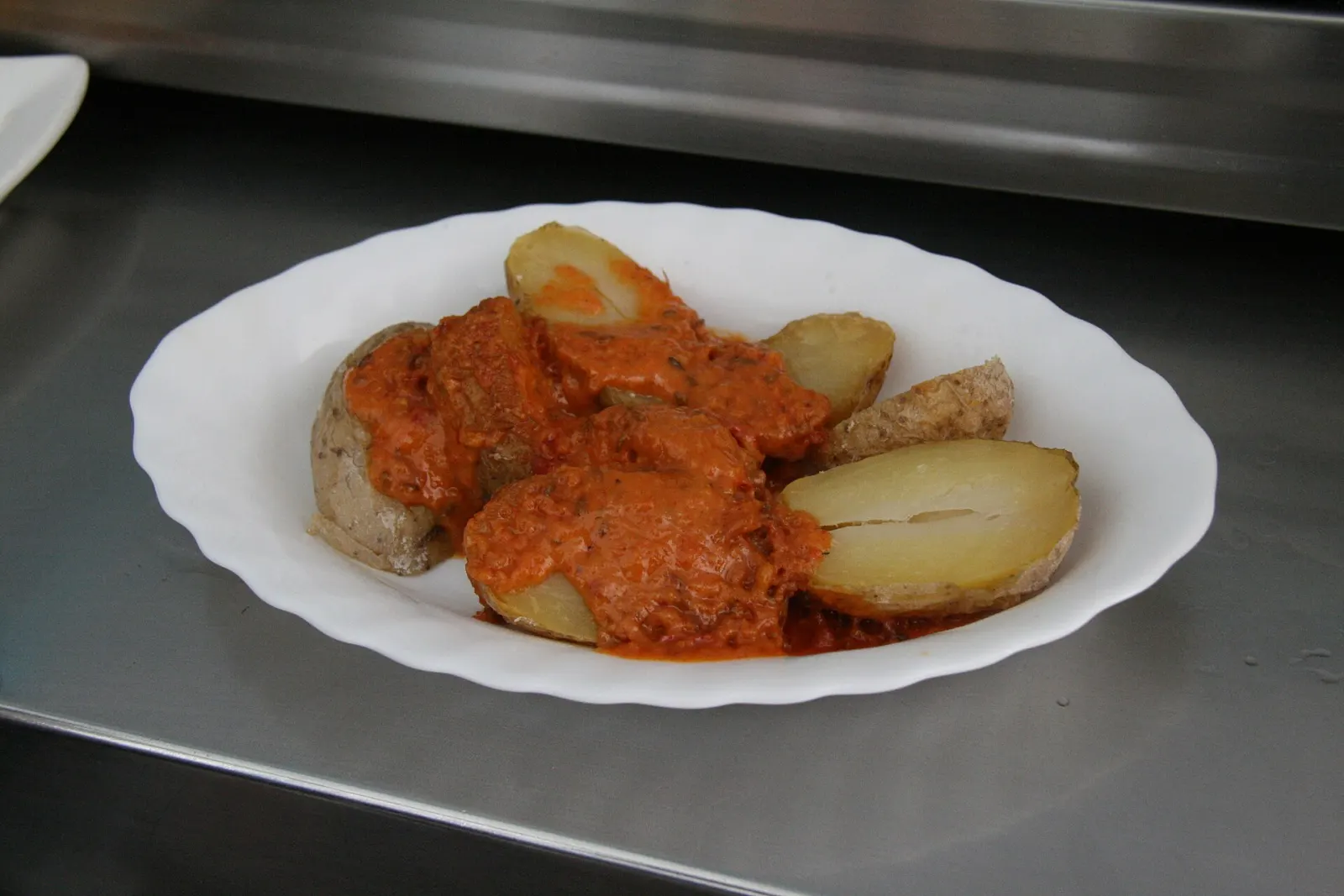
When you have chosen, browse where to stay by island, or read about Canarian food to know what to look for on each island's menu.