Teide National Park
Tenerife · 3.715 m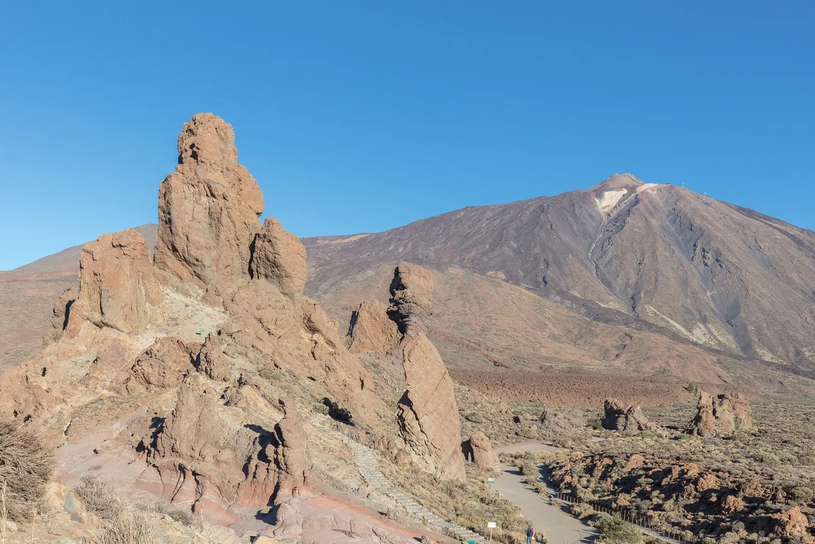
A high-altitude volcanic park in the centre of Tenerife, crowned by Teide (3,715 m), Spain's highest peak. Created in 1954 and a UNESCO World Heritage Site since 2007.
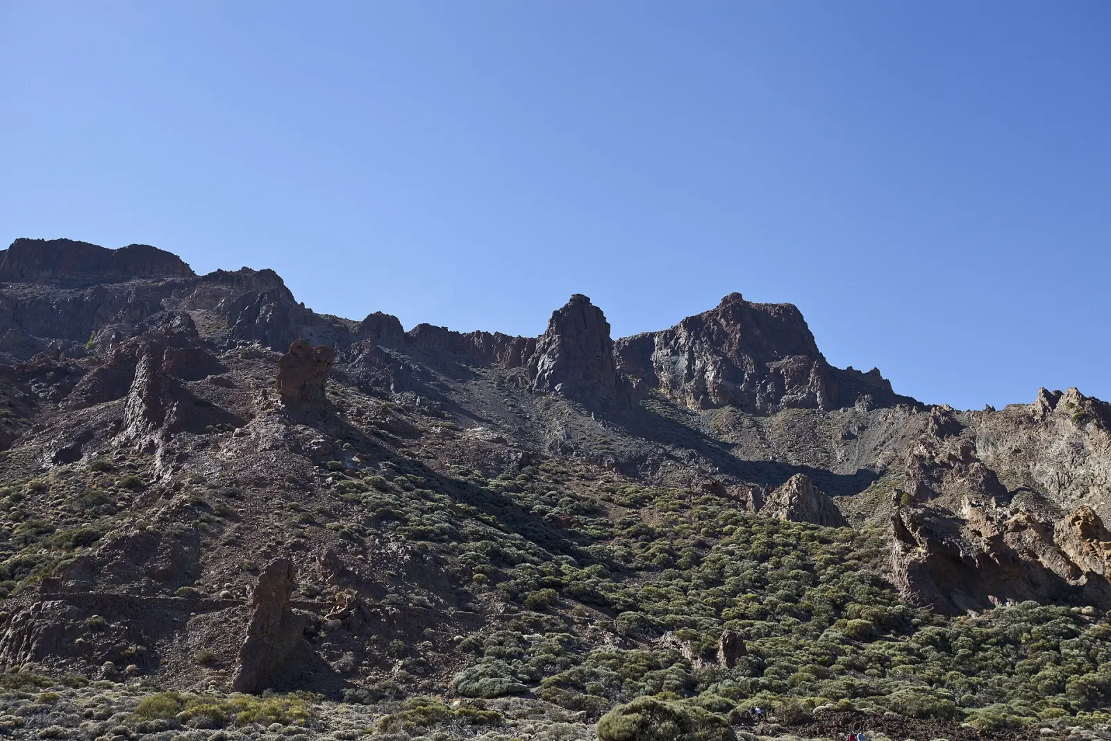
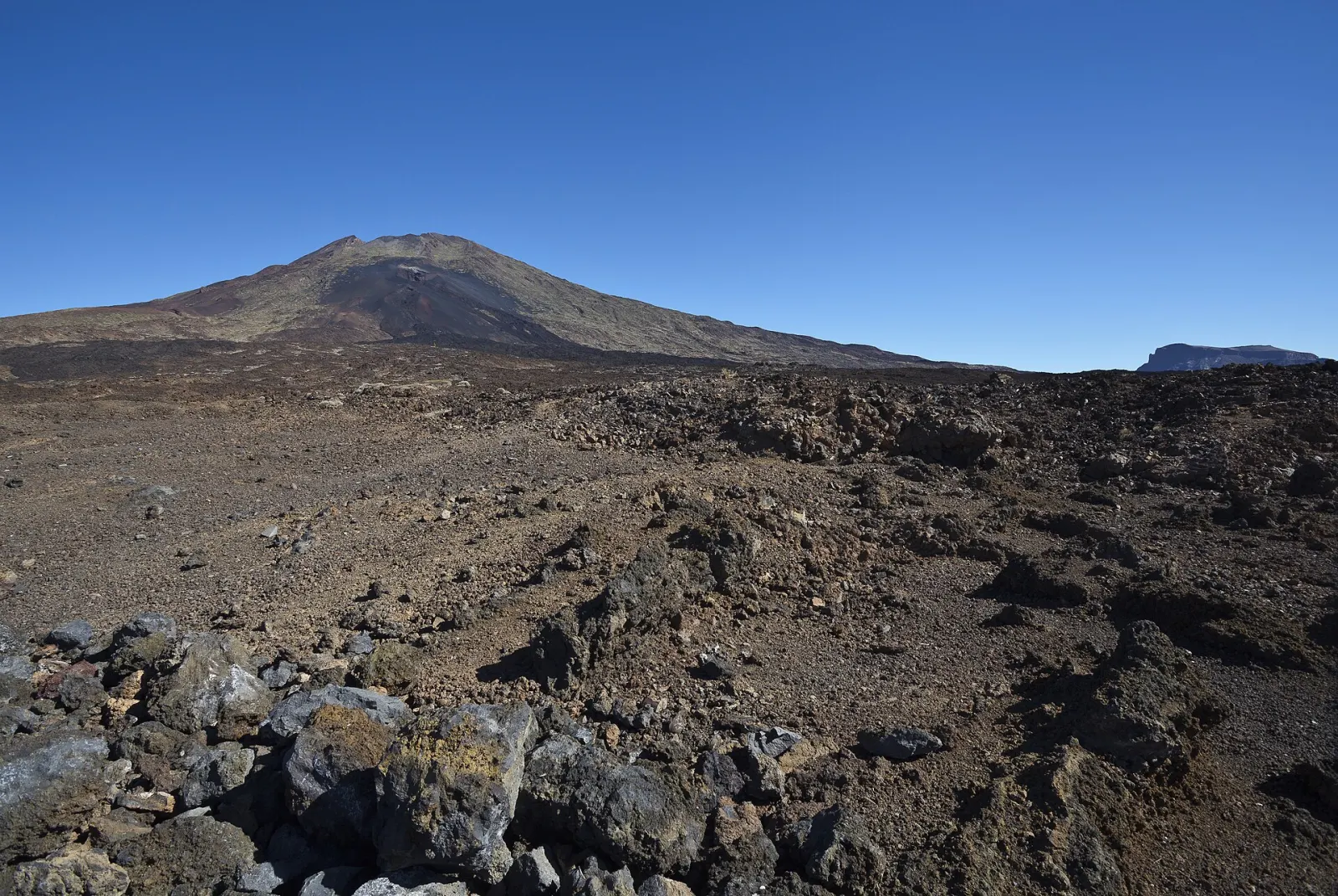
Teide National Park covers almost 19,000 hectares of lava fields, pumice slopes and crater walls in the middle of Tenerife. At its centre stands Teide, at 3,715 m the highest mountain in Spain. The park was created in 1954 and inscribed by UNESCO as a natural World Heritage Site in 2007; most visitors come for the drive across Las Cañadas, the cable car and, with a permit, the walk to the summit crater.
What is there to see in Teide National Park?
The road through the park crosses Las Cañadas, a vast caldera floor at more than 2,000 m. Its best-known stop is the Roques de García, a line of eroded rock towers opposite the Llano de Ucanca plain, with Teide rising behind. Canary pine forest starts at about 1,600 m on the way up, then gives way to open scrubland; the Teide violet grows above 2,200 m on bare scoria. Two visitor centres explain the landscape: El Portillo (geology and ecology) and Cañada Blanca (people and the mountain), both open 9:00–16:00 every day except 25 December and 1 January.
Do you need a permit to climb to the summit?
Yes. The cable car lifts you from 2,356 m to its upper station at 3,555 m in about eight minutes without any permit, but the last stretch to the crater, trail no. 10 (Telesforo Bravo), needs a booking on the Cabildo's Tenerife ON platform for the 9:00–17:00 slots. Since 19 January 2026 the permit costs €15 for visitors from outside the Canaries, €6 for residents of the other islands, and is free for Tenerife residents and children under 14. Slots are released every Monday at 7:00 for up to 28 days ahead, in two-hour turns (9–11, 11–13, 13–15, 15–17; the last one has no cable car descent). Confirmed bookings are not refundable unless the trail closes for weather or the cable car is not running. The Montaña Blanca trail (no. 7) to La Rambleta also carries a fee for non-residents.
When is the best time to go?
Clear mornings are usually the rule above the cloud layer, which is why many people arrive early. Winter can bring snow and ice that close the summit trail and even roads; summer days are hot at the caldera floor but still cold and windy on the peak. Altitude matters: at 3,500 m the air holds much less oxygen, so walk slowly, drink water and turn back if you feel dizzy or get a headache. Children, pregnant visitors and people with heart or breathing problems should think twice about the top.
How does it fit into a Tenerife trip?
Many visitors pair the park with an evening of stargazing on Teide or plan around the Teide cable car. From the north, the road climbs through the La Orotava valley; from the south, through Vilaflor. For more ideas around the island, see our Tenerife guide and the forested hills of Anaga Rural Park for a contrast on another day.
Don’t miss
Know before you go
- Book the summit early. Tenerife ON releases slots every Monday at 7:00 for the next 28 days; popular dates go quickly.
- Bring layers. It can be warm at the coast and near freezing at 3,555 m on the same day, with strong wind.
- Respect the altitude. Walk slowly above 3,000 m and descend if you get a headache or feel dizzy.
- Check winter conditions. Snow and ice can close the summit trail and park roads; check before driving up.
Getting there
Three roads cross the park: the TF-21 (La Orotava–Granadilla) from the north via the Orotava valley and from the south via Vilaflor, the TF-24 from La Laguna along the island's ridge to El Portillo, and the TF-38 from Chío in the west to Boca Tauce. By public bus, TITSA line 342 leaves Costa Adeje bus station at 9:25 (Los Cristianos 9:40) and line 348 leaves Puerto de la Cruz at 9:30, both stopping at the cable car and returning in the afternoon; each runs once a day in each direction, so check titsa.com before relying on them.