Los Gigantes Cliffs
Tenerife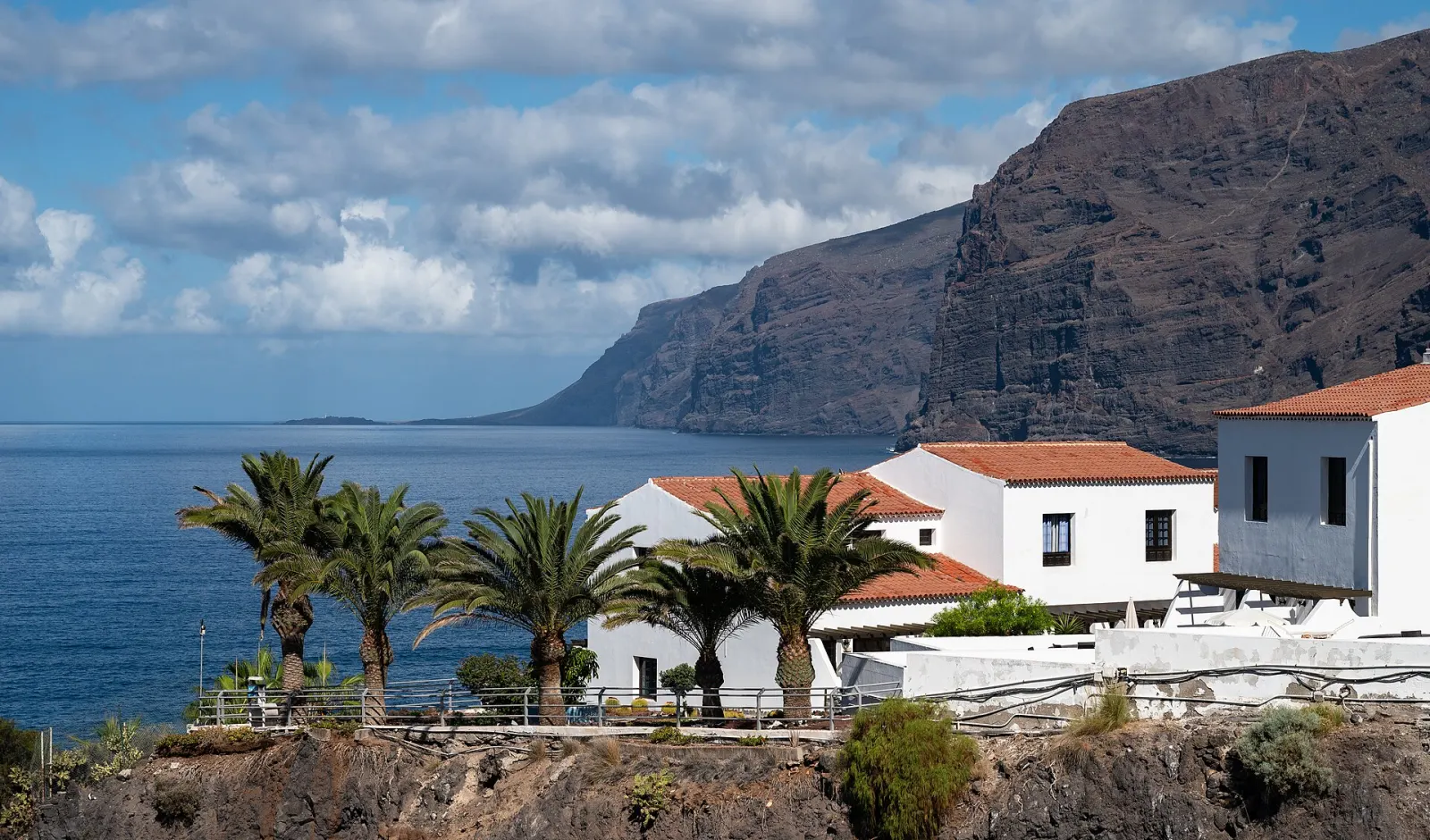
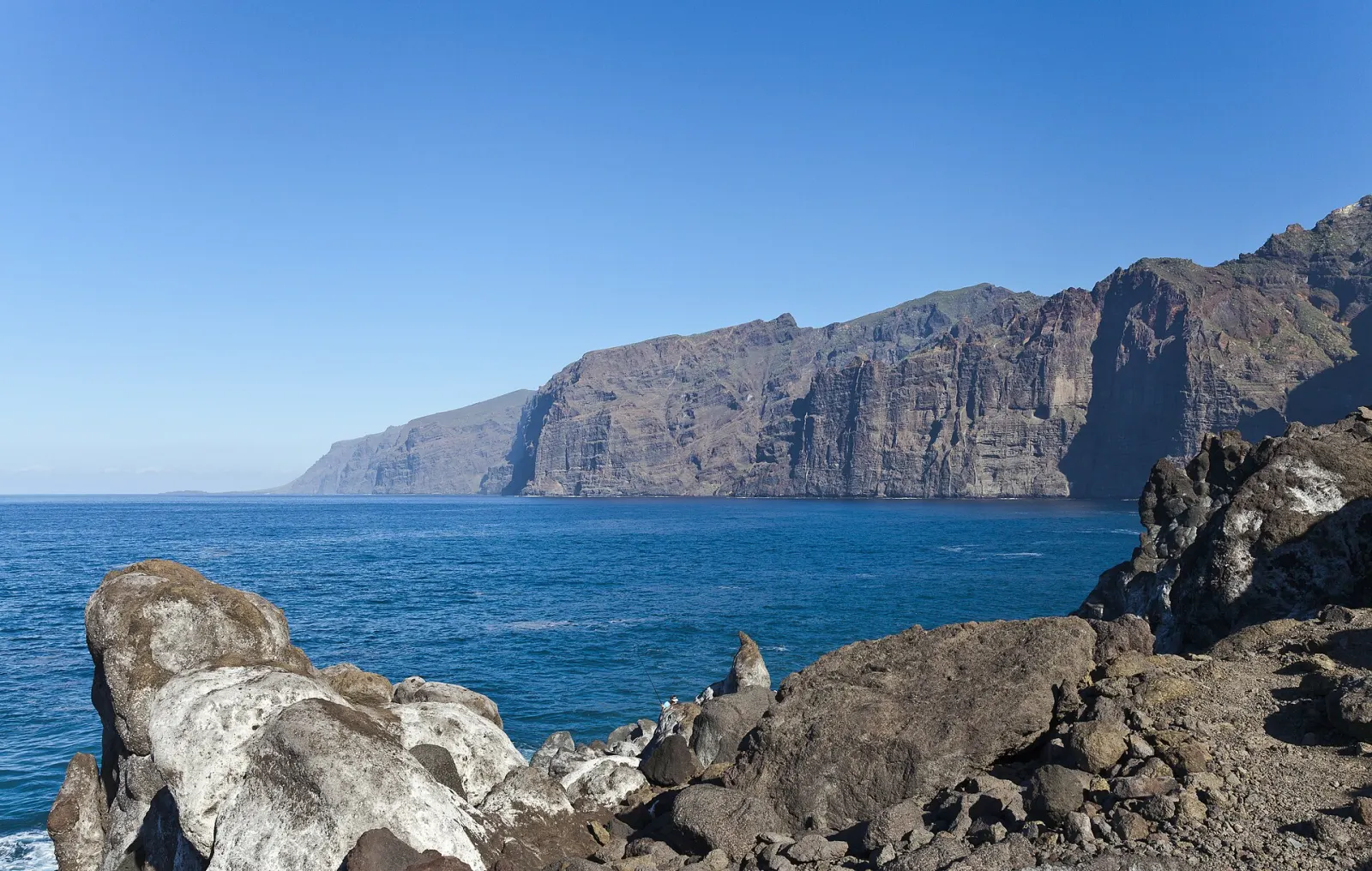
Basalt sea cliffs on Tenerife's west coast that rise from about 300 m to more than 600 m straight out of the Atlantic, best seen from the sea or from the Archipenque viewpoint.
The Los Gigantes cliffs are a wall of basalt on Tenerife's west coast that drops straight into the Atlantic from heights of about 300 m to more than 600 m. They form the southern edge of the Teno massif, between the resort of Los Gigantes in Santiago del Teide and the mouth of the Masca gorge, and are protected as a natural monument. The Guanches, Tenerife's pre-Hispanic inhabitants, called them the "Wall of Hell".
Why were they called the Wall of Hell?
The cliffs and the rugged dark-lava terrain behind them made this stretch of coast almost impassable on foot, which helps explain the old name. Today the town at their foot has parking, bus stops, places to eat and a small seafront, so a visit from land needs no planning beyond the drive. A boat trip or the Masca hike is what takes more organisation.
Where can you see the Los Gigantes cliffs?
There are two ways to appreciate their scale. From land, the Mirador de Archipenque on the TF-454 in Puerto Santiago looks north along the whole face, and the seafront of Los Gigantes sits right at its foot. From the sea, boats leaving Los Gigantes marina run along the base of the cliffs, which the Canary Islands tourism board recommends as the way to see them at full size. Afternoon light, when the sun moves to the west, falls directly on the face; in the morning the wall is often in shadow.
What is the coast below the cliffs like?
The sea immediately off the cliffs is around 30 m deep and rich in marine life, which is why the marina is a base for kayaking, diving and wildlife-watching trips. Whales and dolphins are frequently seen offshore; our whale watching guide explains how to choose an authorised boat. There is a small beach and natural swimming pools near the town.
How do the cliffs connect with Masca?
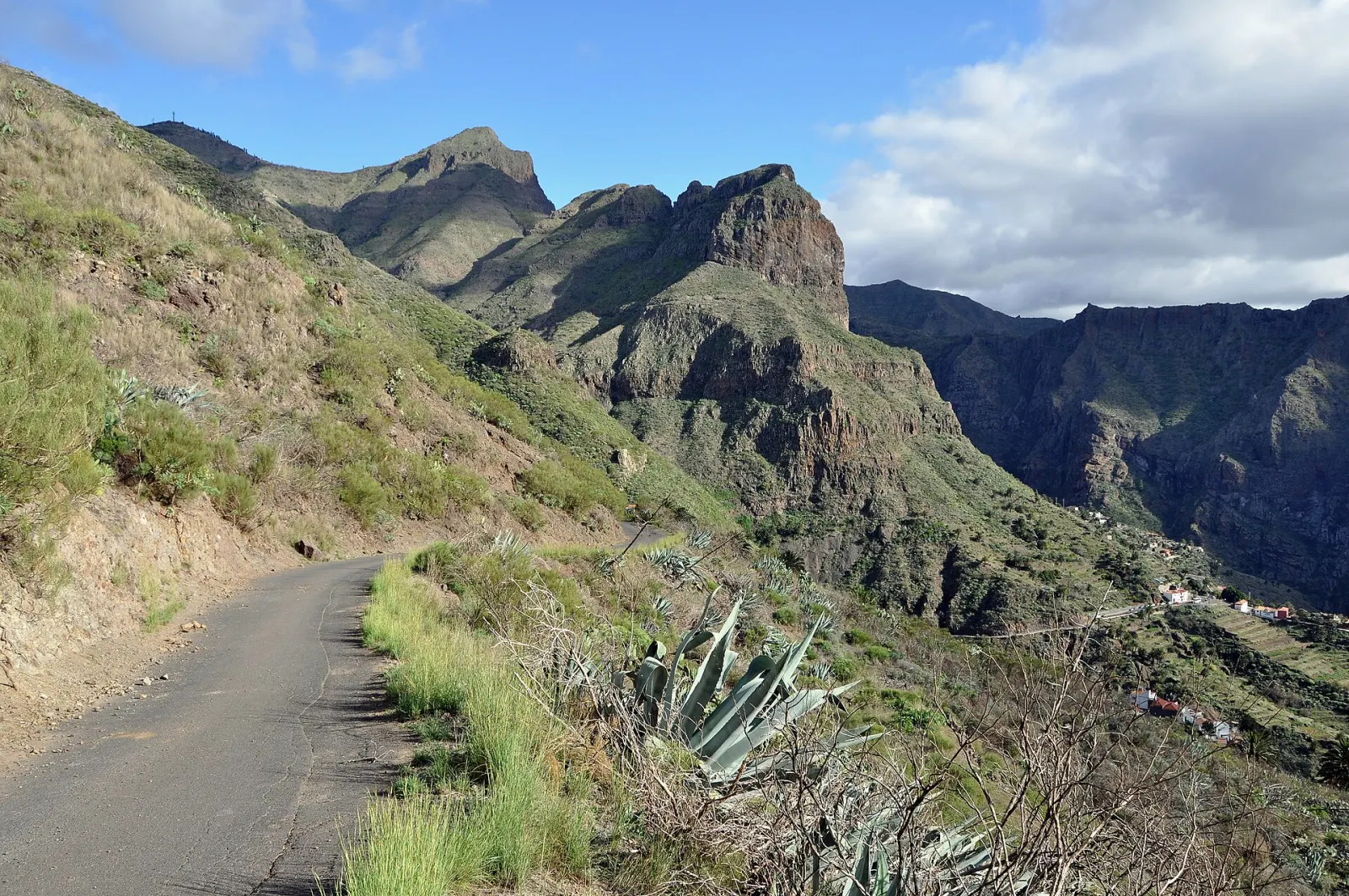
The Masca gorge reaches the sea at a beach enclosed by the cliffs, and walkers who descend the gorge must return by boat to Los Gigantes, so many people see the cliffs at sea level at the end of that hike. Seen from the boat, the walls continue north towards the Teno peninsula.
When is the best time to visit?
The viewpoint works year-round. Calm sea is what matters for boat trips; strong winds or Atlantic swell can cancel departures, so keep a spare day if a boat trip is the point of your visit. Respect the official guidelines: take all litter with you, don't feed wildlife, don't stack stones and keep noise down.
What else is nearby?
Los Gigantes is a short drive from Santiago del Teide, where roads lead up to Teide National Park. For a wider plan of the island, see our Tenerife guide.
Don’t miss
Know before you go
- Go in the afternoon for light. The west-facing wall is lit by the afternoon sun and often shaded in the morning.
- Keep a spare day for boats. Wind and swell can cancel departures from Los Gigantes marina.
- Use an authorised boat for cetaceans. Whale and dolphin trips are regulated in the Canaries; see our whale-watching guide.
Getting there
Los Gigantes is on Tenerife's west coast in the municipality of Santiago del Teide, reached from the TF-1 motorway in the south via the coast road through Playa San Juan and Puerto Santiago, or from the north via Santiago del Teide. TITSA buses serve the town: line 477 runs directly from Costa Adeje bus station (about 50 minutes), line 473 from Los Cristianos via Costa Adeje and Adeje (about 1 h 20), line 325 from Puerto de la Cruz via Icod and Santiago del Teide, and line 462 from Guía de Isora.