Anaga Rural Park
Tenerife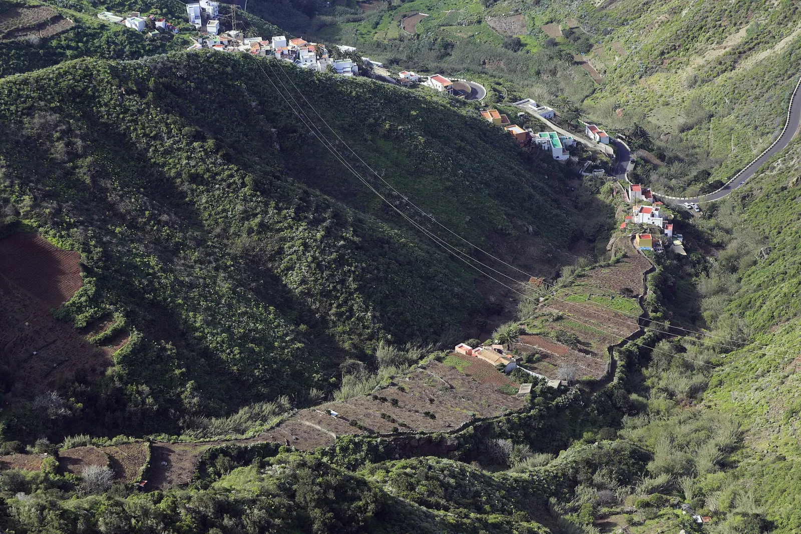
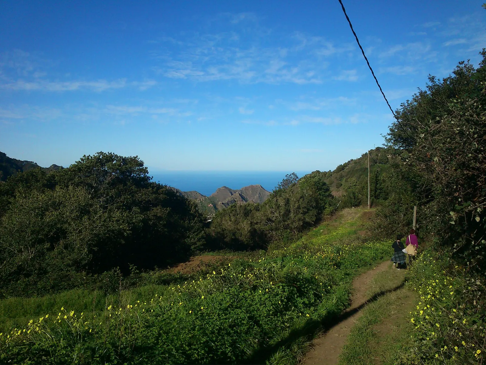
A mountainous, laurel-forested massif on Tenerife's north-east tip, protected since 1987 and a UNESCO Biosphere Reserve since 2015, with about 26 small hamlets reached by winding roads.
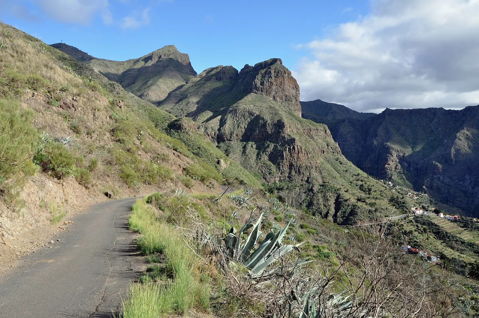
Anaga Rural Park covers about 14,500 hectares of steep ridges, ravines and laurel forest at the north-eastern tip of Tenerife, across the municipalities of La Laguna, Santa Cruz de Tenerife and Tegueste. Protected since 1987 and declared a UNESCO Biosphere Reserve in 2015, it is the island's best place to walk through laurisilva, the humid evergreen forest that once covered much of southern Europe. It is also a lived-in landscape: up to 26 hamlets with around 2,000 residents still farm its terraces.
What makes Anaga different from the rest of Tenerife?
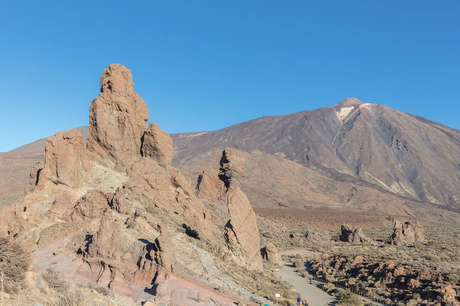
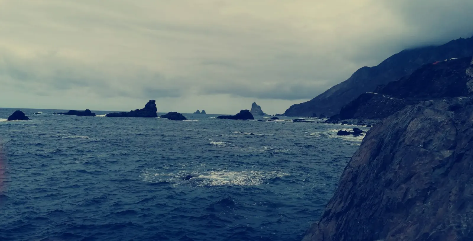
Where Teide National Park is open, dry and volcanic, Anaga is old, eroded and green. The high ridges catch the moist trade-wind clouds, which keep the laurel forest alive; the official tourism board describes it as a relic of a forest type that has survived for some 40 million years. The highest point, Cruz de Taborno, reaches about 1,020 m, but the relief feels bigger because the ravines drop almost to sea level within a few kilometres. Villages such as Taganana, Almáciga, Afur and Chamorga sit at the end of these valleys, and the Roque de las Bodegas beach lies below Taganana.
Where should you start a visit?
The Cruz del Carmen visitor centre, on the TF-12 at km 6 above Las Mercedes, is the usual first stop. It is open daily from 9:30 to 16:00 (until 15:00 in July–September), has a viewpoint over La Laguna and is the start of short forest paths. From there the TF-12 runs along the crest towards El Bailadero, with side roads dropping to the north-coast hamlets. Some sensitive areas inside the park have controlled access and need prior authorisation from the Cabildo's environment department; check before you set out on a route you have not confirmed.
What is the weather like in Anaga?
Conditions change quickly. It is common to leave sunny Santa Cruz and drive into fog and drizzle on the ridge, then find sun again on the coast at Taganana. Bring a windproof or rain layer, water, food and shoes with grip: forest paths stay wet and muddy long after rain. After storms, the Cabildo can close trails and forest tracks across the island's protected areas, so check for warnings before heading out.
When is the best time to go?
Weekday mornings are calmer. Parking is scarce at Cruz del Carmen and in Taganana, and the narrow roads fill up on weekends and holidays. Mist is part of the experience rather than a reason to cancel, but views from the viewpoints are clearest on dry, settled days.
How does Anaga fit into a trip?
Anaga is the natural half-day or full-day extension of a visit to La Laguna's old town, which sits at the foot of the TF-12. Many visitors combine it with Teide on separate days to see both sides of Tenerife. If laurel forest is what draws you, compare it with Garajonay National Park on La Gomera.
Don’t miss
Know before you go
- Expect fog and mud. Pack a rain layer and shoes with grip even if the coast is sunny.
- Arrive early at weekends. Parking at Cruz del Carmen and Taganana is limited.
- Check controlled-access zones. Some forest areas require prior authorisation from the Cabildo de Tenerife.
Getting there
From La Laguna, take the TF-12 through Las Mercedes up to Cruz del Carmen and along the ridge. From Santa Cruz, follow the TF-11 to San Andrés, then the TF-12 up to El Bailadero and the TF-134 down to Taganana and Almáciga. TITSA buses serve the park: line 076 runs from La Laguna via Cruz del Carmen to Afur and line 077 from La Laguna to El Bailadero via Las Mercedes; from Santa Cruz's bus station, line 946 goes via San Andrés to Taganana and Almáciga and line 947 to El Bailadero and Chamorga. Services are infrequent, so check timetables on titsa.com.