
Garajonay National Park
La Gomera · 1.487 m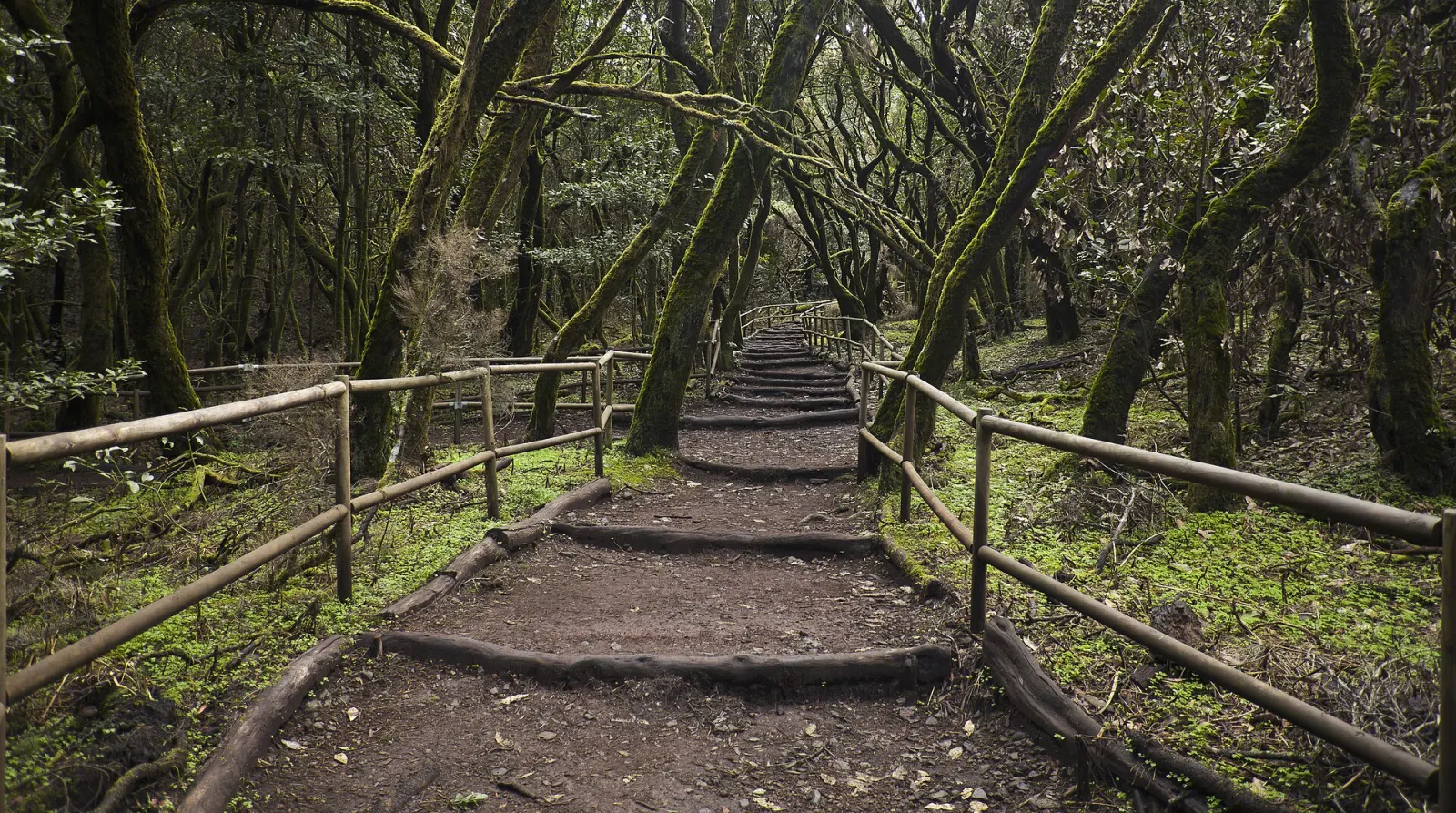
The misty laurel-forest heart of La Gomera, a national park since 1981 and a UNESCO World Heritage Site since 1986, holding the best-preserved laurisilva in the Canary Islands.
Garajonay National Park covers about 3,984 hectares of the high centre of La Gomera, more than a tenth of the island, spread across all six of its municipalities. It was declared a national park in 1981 and inscribed as a UNESCO World Heritage Site in 1986 because it protects the best-preserved example of laurisilva, a humid subtropical forest from the Tertiary period that disappeared from mainland Europe as the climate changed. According to Spain's national parks network, Garajonay holds more than half of the mature laurel forest left in the Canary Islands.
Why is the forest in Garajonay so green?
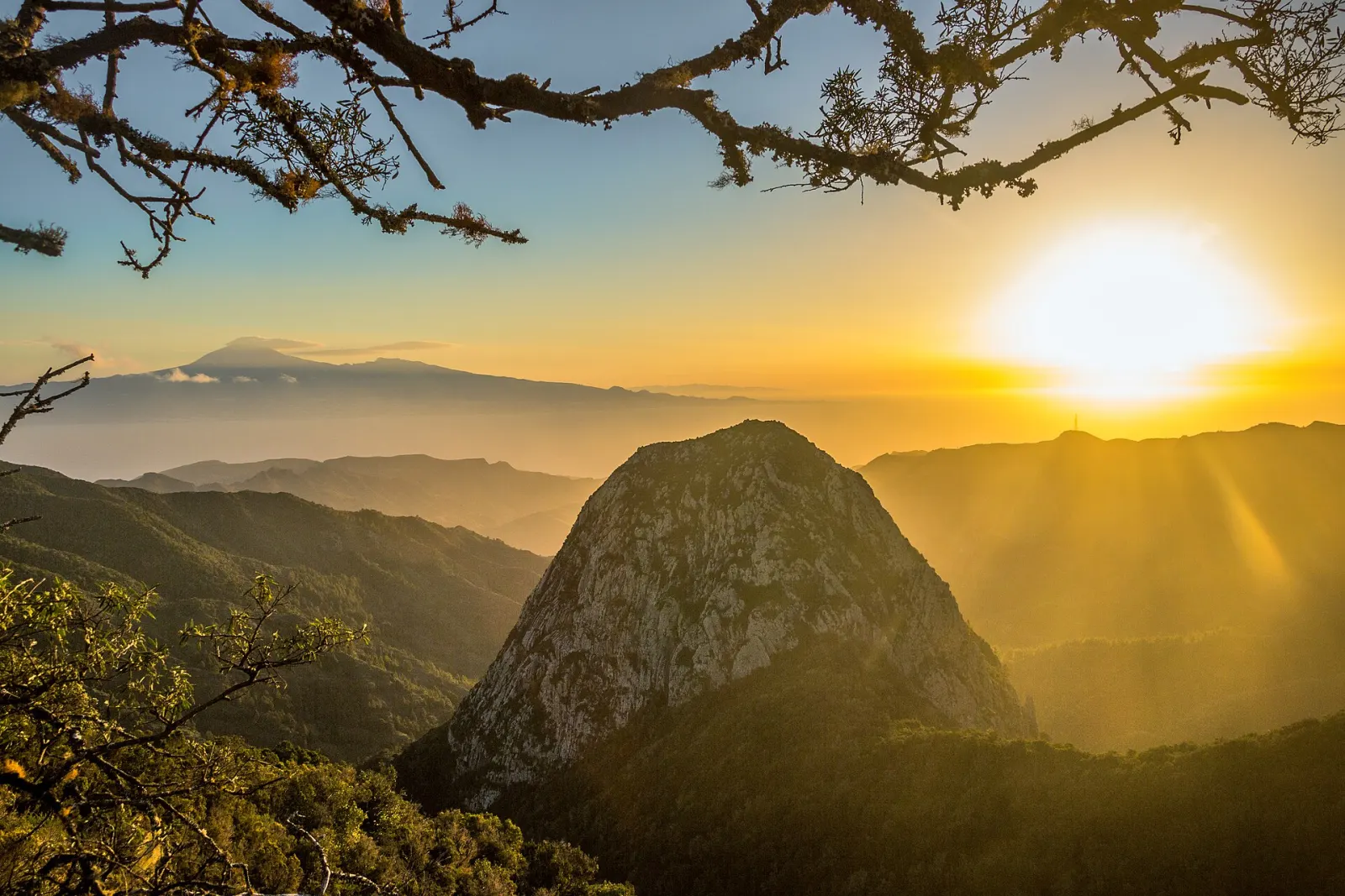
Persistent fog carried up from the ocean by the trade winds keeps the summits moist and cool, even when the coast is dry. The result is a dense, mossy forest of laurel-type trees with ferns and lichens, home to many plants and animals found only in the Canaries. Above the forest stand old volcanic plugs such as Roque de Agando, among the island's best-known landmarks. The highest point, Alto de Garajonay, reaches 1,487 m and is also the top of La Gomera; the park's lowest point is around 650 m, near the hamlet of El Cedro.
Where do you start a visit?
Two official centres help you plan. The La Laguna Grande information point, in the largest recreation area in the middle of the park at km 26.5 of the GM-2, opens daily from 8:30 to 16:30. The Juego de Bolas visitor centre at La Palmita, in Agulo on the north side about 3 km outside the park, opens daily from 9:30 to 16:30. Both close on 25 December and 1 January and have parking, toilets and a café or restaurant. From La Laguna Grande and other trailheads along the GM-2, waymarked paths lead through the forest and up to Alto de Garajonay; our Garajonay laurel forest walk page covers a route in detail.
What should you know before you go?
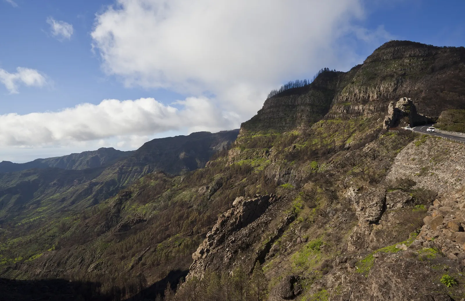
The forest is often cool, wet and foggy, so bring a waterproof and warm layer even in summer, and shoes with grip for slippery paths. Visibility in fog can fall quickly, which makes it easy to lose a path; stick to signed routes. Fire is the main threat: in 2012 a wildfire that burned more than 4,000 hectares of La Gomera spread into the park and affected almost 750 hectares of it. In 2026 the park also listed intermittent closures for roadworks on the CV-14 at El Rejo (7:00–13:00) and a ban on vehicles on the La Meseta de Vallehermoso track since 4 May 2026; check the park website for current notices.
When is the best time to go?
The park is open all year. Clear days are best for views from Alto de Garajonay; on foggy days the forest itself is at its most atmospheric, but trails are wetter. Arrive early if you want a parking space at the busier trailheads, and allow time for the winding GM-2.
How does Garajonay fit into a trip?
La Gomera is a short ferry hop from southern Tenerife, so many people come for a day, but staying on the island leaves time for longer walks. See our La Gomera guide. If you enjoyed the laurel forest, compare it with Anaga Rural Park on Tenerife.
Don’t miss
Know before you go
- Pack for fog. Bring a waterproof and warm layer; paths are often wet and slippery.
- Stay on signed paths. Visibility can drop fast in fog, making it easy to lose the way.
- Check park notices. Road works and track closures are posted on the official park website.
Getting there
La Gomera is reached by ferry from Los Cristianos in southern Tenerife to San Sebastián de La Gomera. From there, the GM-2 climbs through the centre of the island and crosses the park, passing the La Laguna Grande recreation area at km 26.5; the Juego de Bolas visitor centre is on the north side at La Palmita, in Agulo. A hire car gives the most flexibility; for public buses, check the island operator's current timetables before relying on them.