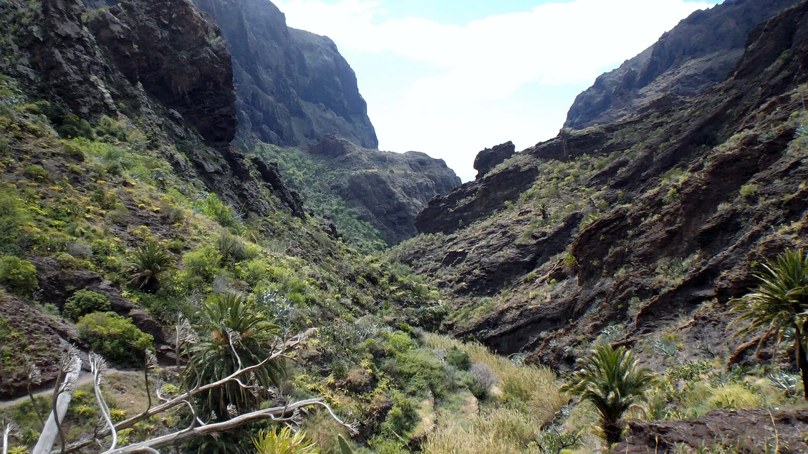
Garajonay laurel forest walks
Garajonay National Park · Contadero · Raso de la Bruma, La Gomera 40 min to 7 h depending on route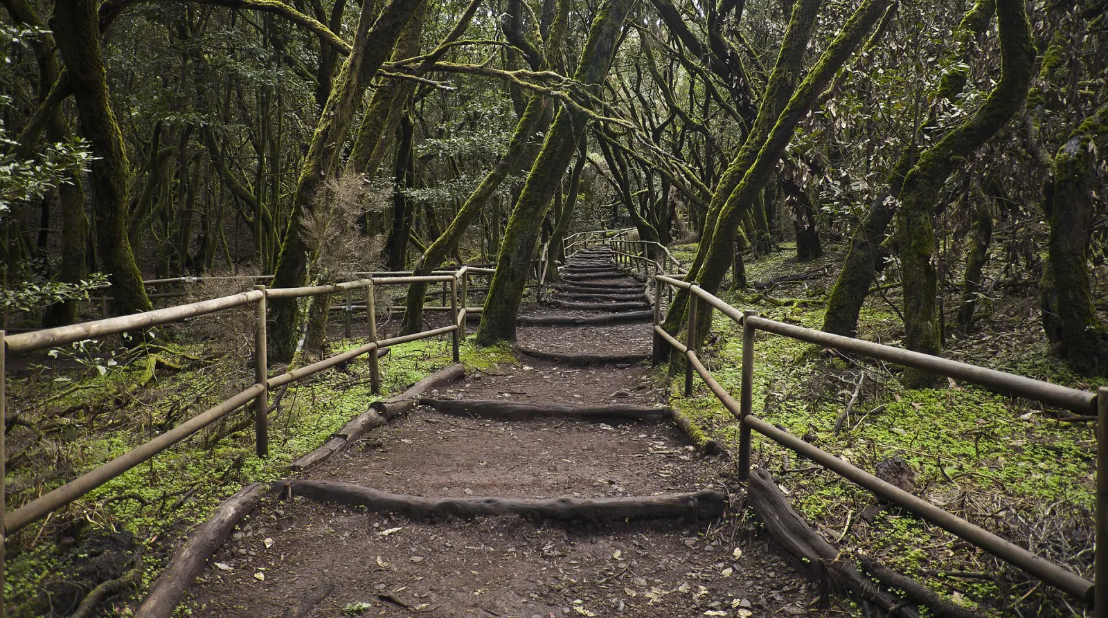
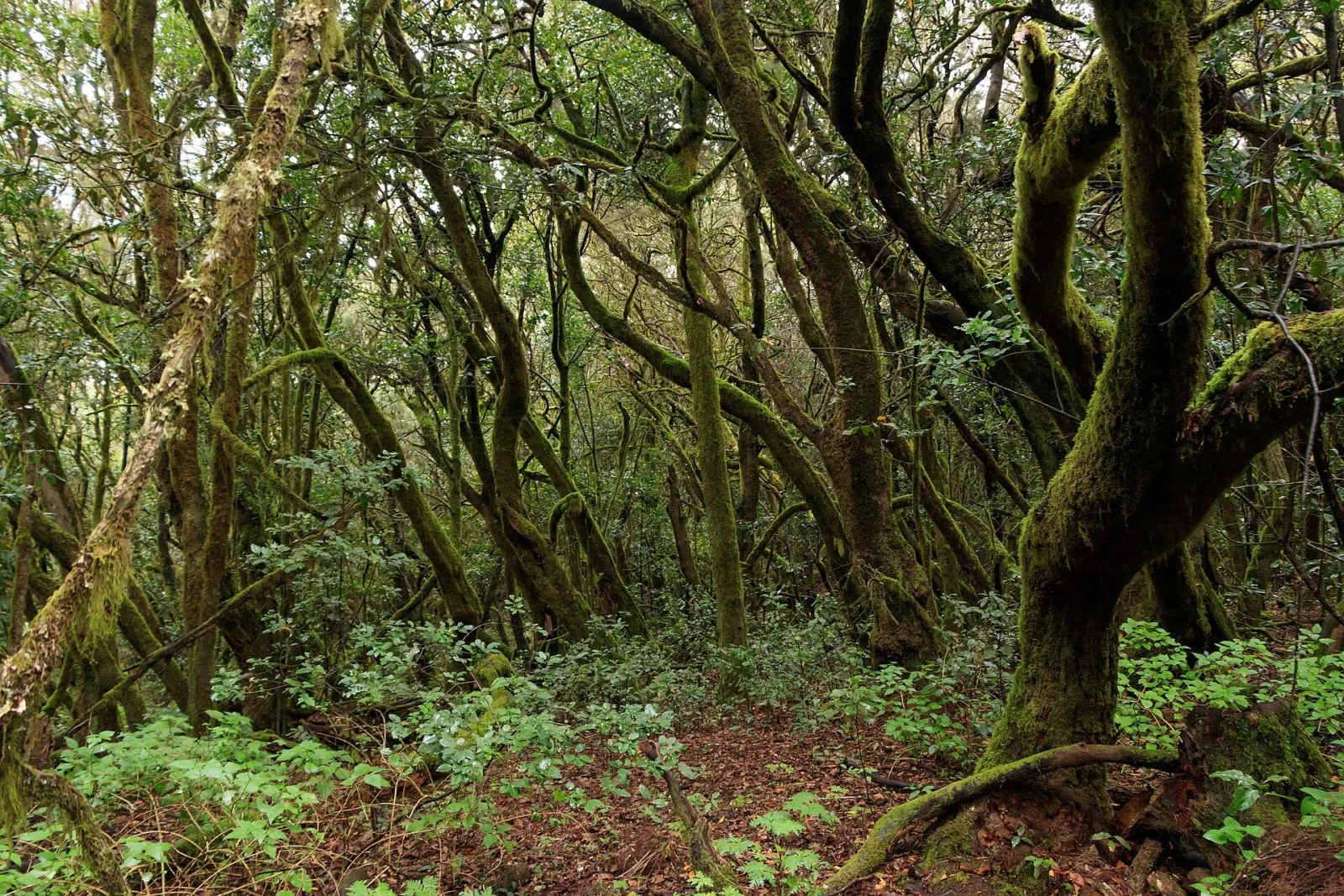
Three official walks through the UNESCO-listed laurel forest of Garajonay National Park, from a 1.3 km misty loop at Raso de la Bruma to the 2.5 km climb to La Gomera's 1,487 m summit and the 11.6 km descent to El Cedro.
Walking in Garajonay National Park means walking in the best-preserved example of laurisilva, a humid laurel forest that Spain's national parks agency describes as a relict of the Tertiary period surviving in the Canary Islands' fog belt. The park, in the centre and north of La Gomera, was declared a national park in 1981 and a UNESCO World Heritage Site in 1986, and covers about 40 km². Spain's national parks agency says it holds more than half of the Canary Islands' mature laurel forest. Below are three official walks of very different lengths.
Why is the forest so wet?
The trade winds push moist air from the ocean up against La Gomera's central heights, where it condenses into an almost permanent cloud layer. The official La Gomera tourism site notes that this mist saturates the forest with water even in summer. Trunks and branches are covered in hanging mosses, lichens and epiphytes, and the ground in ferns, heath and ivy. In the lower ravines, permanent streams allow viñátigo trees (Persea indica) to grow unusually large.
Which walk should you choose?
| Walk | Length | Time | Type |
|---|---|---|---|
| Raso de la Bruma – Risquillos de Corgo | 1.3 km | 40 min | Loop |
| Contadero – Alto de Garajonay (park route 7) | 2.5 km | 1 h 30 min | Out and back |
| Contadero – El Cedro – Contadero | 11.6 km | 6 h 55 min | Loop |
Figures are from the official La Gomera and Canary Islands tourism trail pages, which rate all three as medium difficulty.
Raso de la Bruma: the short misty loop
A short, easily reached loop through one of the park's wettest stretches of laurel forest, starting by the Raso de la Bruma picnic area. The path climbs gently to a clearing with views over forested valleys. The official description recommends it on misty days, when the forest is at its most atmospheric.
Alto de Garajonay: the island's summit
From Contadero, the trail rises through young heath-and-faya woodland that replaced former pine plantations and is regenerating after the 2012 forest fire. It ends on the summit plateau at 1,487 m, La Gomera's highest point, where an excavated archaeological site shows it was one of the main ceremonial centres of the island's pre-Hispanic inhabitants. On clear days you can see Tenerife, La Palma and El Hierro. You return the same way.
El Cedro: the full forest descent
The longest option drops from summit heathland through hillside laurel forest to ravine-bottom forest with viñátigos, then leaves the park towards the hamlet of El Cedro, below a cliff over 200 m high with a waterfall falling towards the Hermigua valley. Plan a full day and carry food and water.
What should you know before going?
- Weather: fog can arrive quickly and the forest is cool and damp; bring a waterproof layer, even in summer.
- Paths: wet roots and stones are slippery; wear shoes with grip.
- Rules: the official sustainability guidance asks you to stay on signposted trails, take all litter home, not feed animals and keep dogs on a lead. Emergency number: 112.
- Visitor centre: the park's Juego de Bolas visitor centre has an exhibition on the forest.
For another laurel forest on a different island, compare Anaga Rural Park in Tenerife. More on La Gomera.
Know before you go
- Pack a waterproof. Trade-wind fog keeps the forest damp and cool even in summer.
- Wear shoes with grip. Wet roots and stones on forest paths are slippery.
- Go up Garajonay on a clear day. From the 1,487 m summit you can see Tenerife, La Palma and El Hierro when the cloud lifts.
- Stay on signposted paths. Leaving the trail damages the forest and can be dangerous; keep dogs on a lead.
More things to do
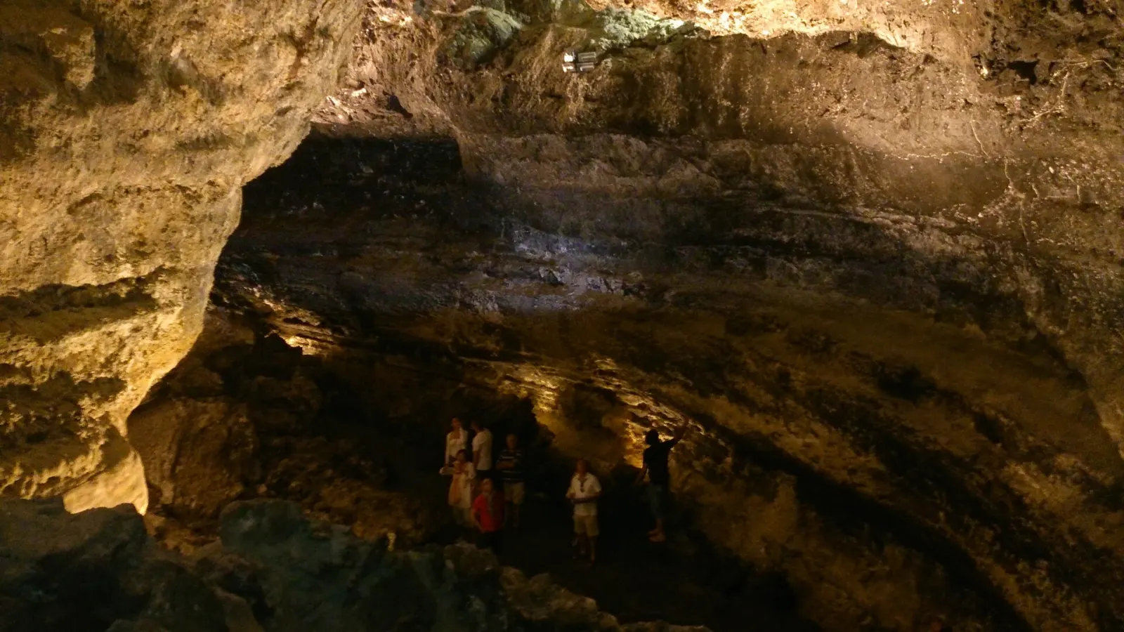
Cueva de los Verdes
Malpaís de la Corona · Haría (Arrieta–Órzola road) · Lanzarote About 50 min
Diving at La Restinga
La Restinga · El Pinar · Mar de las Calmas · El Hierro Half day (1–2 dives)