
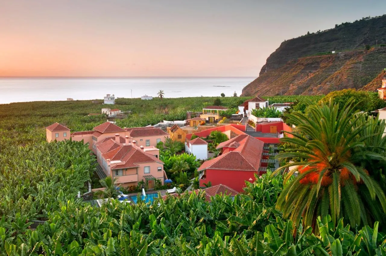
 Boutique hotels · Adults only
Tazacorte, La Palma
Steep, green La Palma rises to 2,426 m at Roque de los Muchachos, on the rim of the Caldera de Taburiente National Park, where international telescopes share the summit. A UNESCO Biosphere Reserve, it is a walking island, still recovering on its west side from the 85-day Tajogaite eruption of 2021.
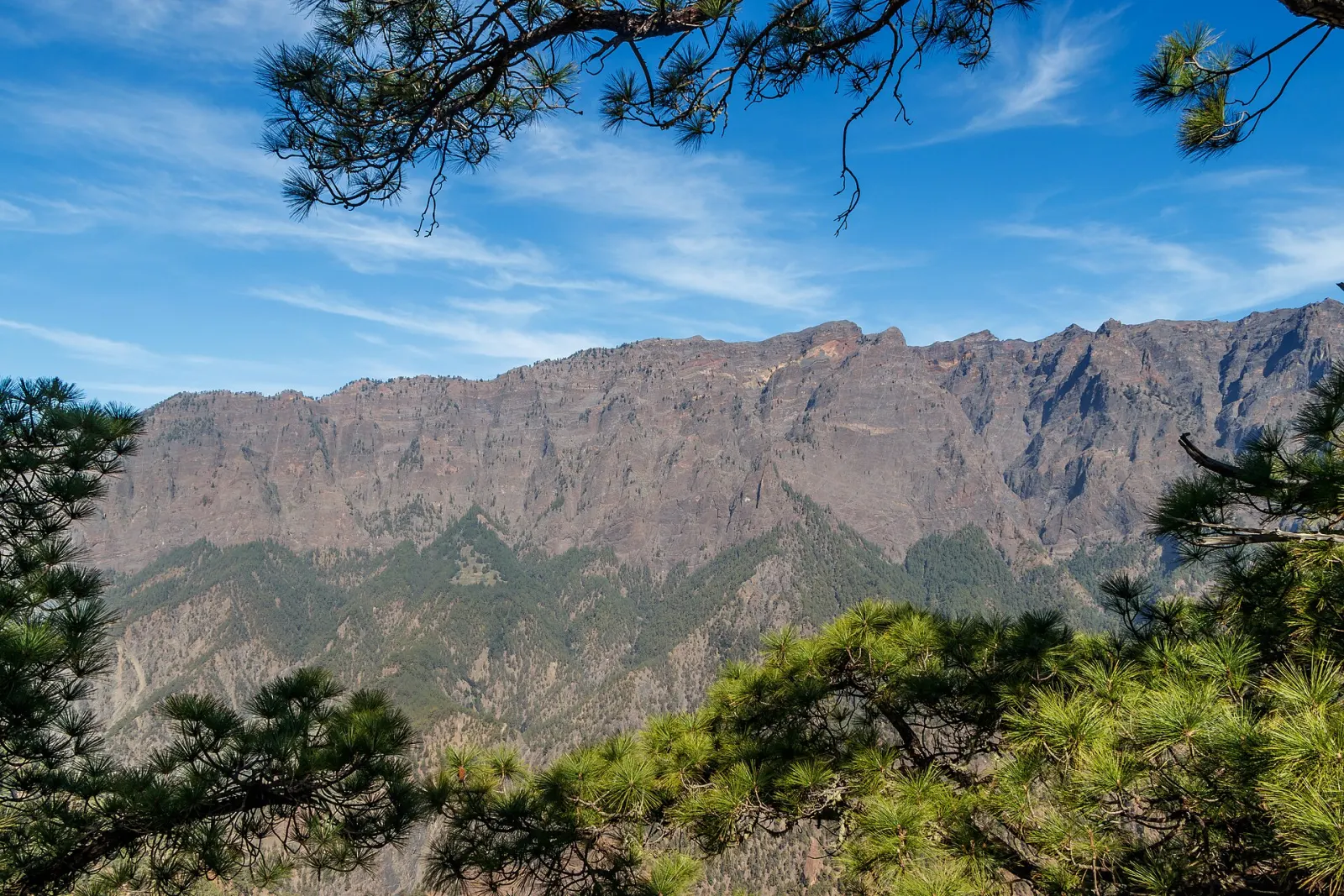
La Palma is the north-westernmost of the Canary Islands: 708 km² rising steeply to 2,426 m at Roque de los Muchachos. It had 86,194 residents on 1 January 2025. Go for mountain walking, the vast Caldera de Taburiente, some of the darkest skies in Europe, a well-preserved colonial capital and, since 2021, the chance to see a new volcanic landscape responsibly.
The nickname comes from its green landscapes: the trade winds bring cloud and rain to the north and east, which support laurel forest, pine forest and banana plantations. Since 2002 the whole island has been a UNESCO Biosphere Reserve, an extension of the Los Tiles reserve first declared in 1983. The island's shape is unusual: in the north lies the huge erosion crater of the Caldera de Taburiente, and a volcanic ridge, the Cumbre Vieja, runs down the spine of the south, where the island's recent eruptions, including 2021, have taken place.
Caldera de Taburiente National Park, declared in 1954, protects about 4,690 ha of a vast amphitheatre of cliffs, ravines and Canary pine forest. Its rim reaches the island's highest point, Roque de los Muchachos, reachable by road. Inside, trails descend to the valley floor and the campsite area, and the classic route follows the Barranco de las Angustias. Distances and height differences are serious: expect steep, loose paths and river crossings that can become dangerous after rain. Check the national park's notices before setting out.
The Roque de los Muchachos Observatory, operated by the Instituto de Astrofísica de Canarias, sits at about 2,400 m on the caldera rim and hosts telescopes from many countries, including the Gran Telescopio Canarias with its 10.4 m aperture. Clear, stable air above the cloud layer is the reason. For visitors, it means that the summit road often climbs into sunshine above a sea of clouds, and that night skies across the island are exceptionally dark. Temperatures at the summit can drop near freezing in winter and the road can close after snow or ice.
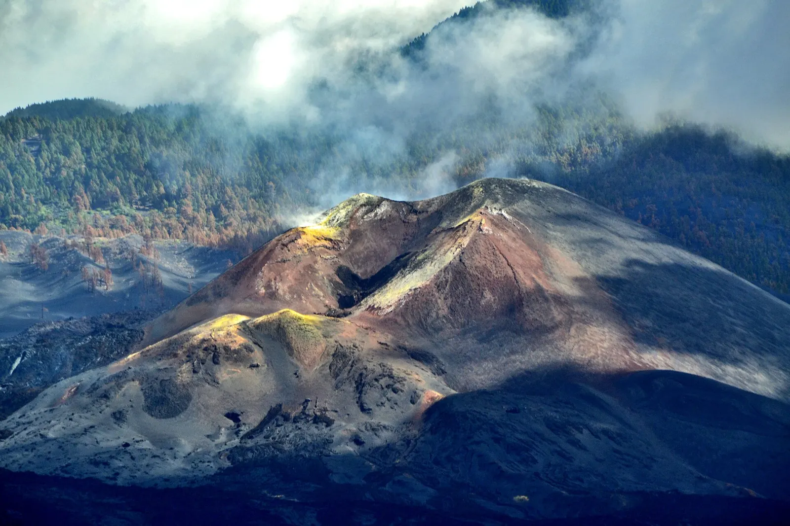
On 19 September 2021 an eruption began on the western slope of the Cumbre Vieja. It lasted 85 days, the longest known eruption on La Palma: activity stopped on 13 December and the eruption was declared over on 25 December 2021. Lava covered more than 1,000 ha, destroyed thousands of buildings, farmland and roads in the Aridane valley, and around 7,000 people were evacuated; lava also built new land into the sea. In 2022 the new cone was given the name Tajogaite.
The affected area is still a place where people are rebuilding homes and livelihoods. Access to parts of the lava field is restricted and some areas have been affected by volcanic gases, so follow official signage, use designated viewpoints and routes, and do not walk on the lava. Spending money locally in Los Llanos de Aridane, Tazacorte and the surrounding villages is one of the most direct ways visitors support recovery.
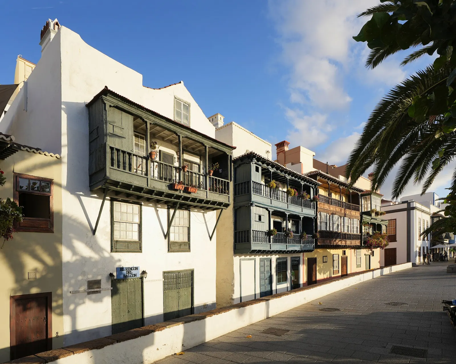
The east (Santa Cruz de La Palma and Los Cancajos) is close to the airport and ferry port, with a historic capital known for its wooden balconies on the Avenida Marítima. The west (Los Llanos de Aridane and Tazacorte) is sunnier and closer to the Caldera trailheads, but was the side most affected by the eruption. The far south, around Fuencaliente, combines volcanic landscapes, salt pans and vineyards.
A car is almost essential. Roads are mountainous and slow, and the drive between the east and west coasts goes through a tunnel under the Cumbre. Allow extra time for the summit road to Roque de los Muchachos, which is long and winding. Plan hikes as linear routes only where you have a bus or taxi option back, or choose circular routes.
La Palma is mild all year at the coast, but the mountains are much cooler and wetter, particularly in winter. Spring and autumn are good for walking. Two festivals draw crowds: Los Indianos, the carnival Monday in Santa Cruz de La Palma, and the Bajada de la Virgen de las Nieves, held every five years. Compare with the other western islands, La Gomera and El Hierro, if you are looking for quiet walking holidays.
Forecast for Santa Cruz de La Palma
Pick the area first — it shapes the whole trip.
Boutique hotels · Adults only
Airports: SPC
By air: La Palma Airport (SPC) is on the east coast, south of Santa Cruz de La Palma, with flights to the other islands, mainland Spain and some European cities.
By ferry: Fred. Olsen Express sails Los Cristianos (Tenerife)–Santa Cruz de La Palma (about 2 h 30 min) and lists a Gran Canaria–La Palma route (about 3 h 50 min). Naviera Armas also connects Tenerife with La Palma. Check current timetables with the operators.