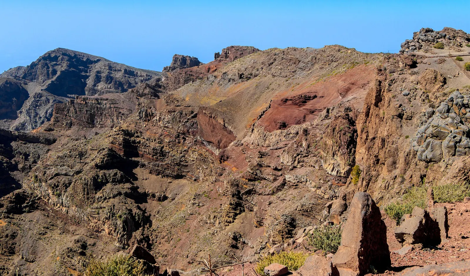
Caldera de Taburiente National Park
La Palma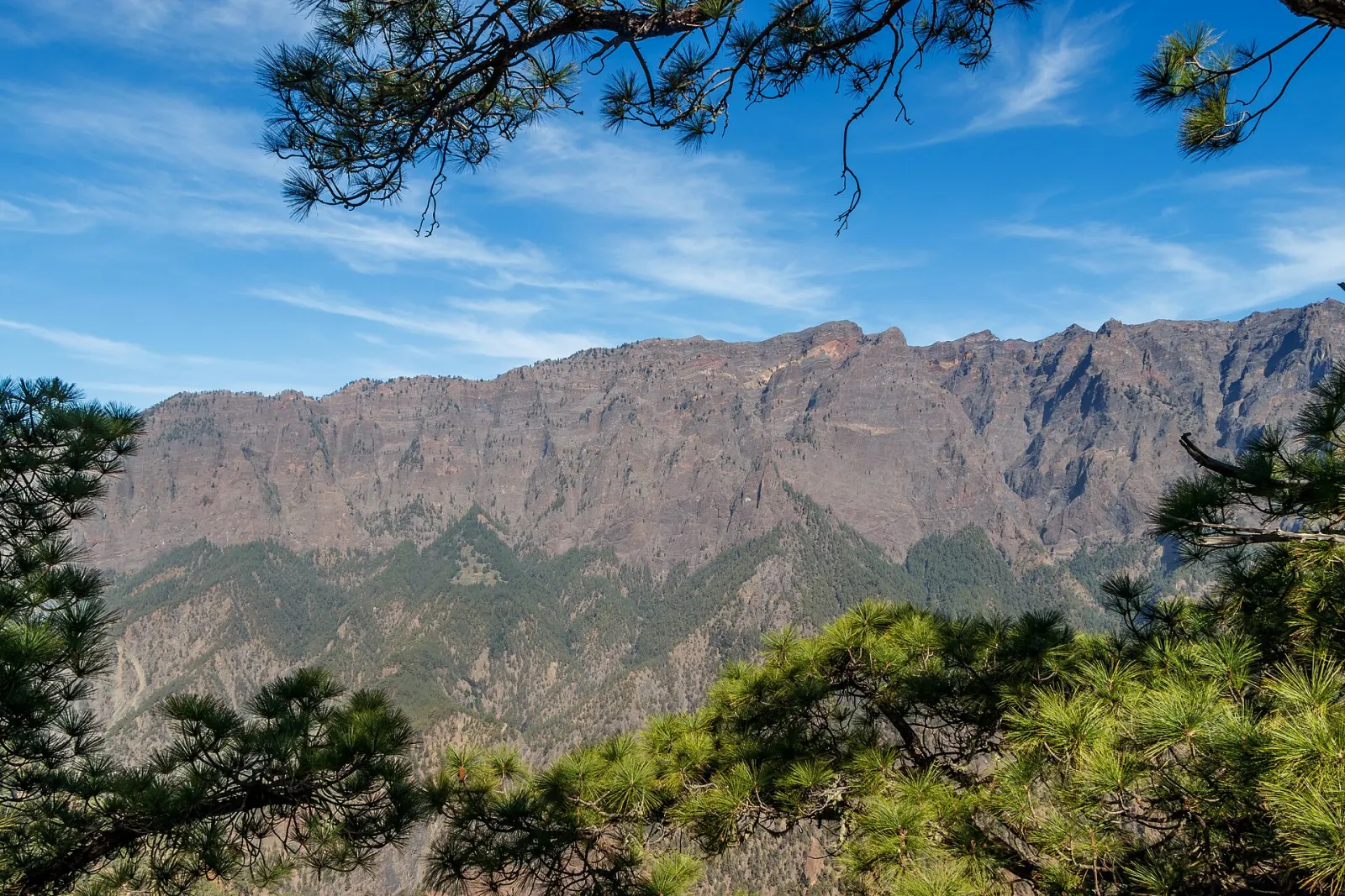
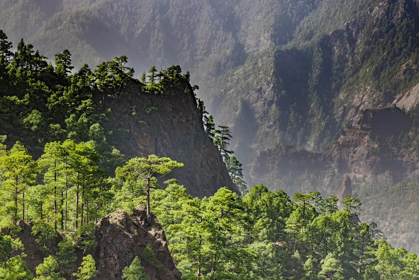
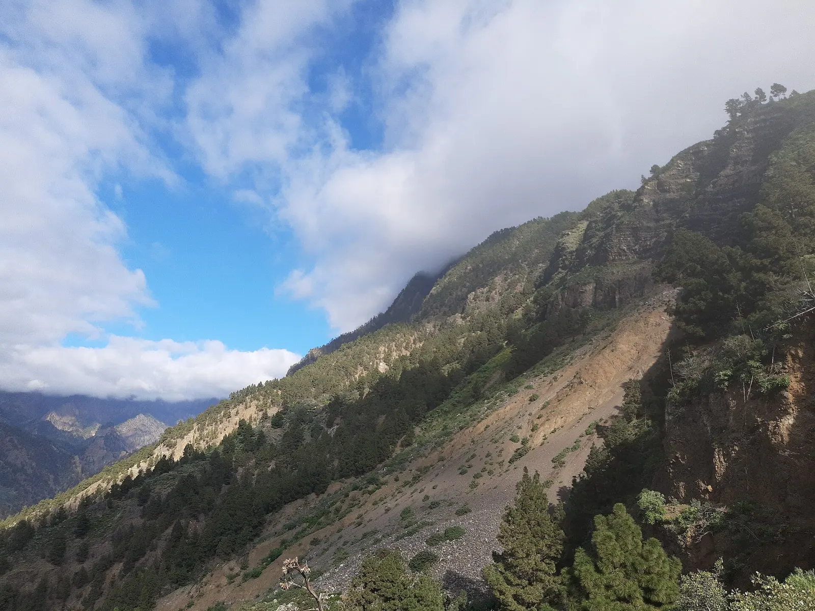
A vast erosion cirque about 8 km across in the north of La Palma, with walls up to 2,000 m high, protected as a national park since 1954.
The Caldera de Taburiente is a huge, crater-like cirque about 8 km across in the centre-north of La Palma, ringed by walls that drop almost 2,000 m from the island's highest summits to the floor. It was declared a national park on 6 October 1954 and covers about 4,690 hectares; since 2002 it has also been part of the island-wide La Palma Biosphere Reserve. Despite the name, it is not a volcanic crater: volcanic eruptions, giant landslides and water erosion shaped it over a long time.
What makes the Caldera de Taburiente special?
Its scale. From the rim at Roque de los Muchachos (2,426 m) you look down into a bowl of pine-covered ridges and ravines that drain to a single exit, the Barranco de las Angustias, which opens to the sea in the south-west. The park is also unusually wet for the Canaries: its dense network of streams has strong erosive power, and the river in the caldera is described as the only permanent stream in the archipelago. Many endemic plants and animals live here.
Which viewpoints can you reach by car?
La Cumbrecita, at the end of a 7 km road from the El Paso visitor centre, is the most visited point in the park, with views straight into the caldera. Vehicle access is regulated and parking is very limited, so a parking slot must be reserved in advance; check the current procedure with the park before you go. On the opposite rim, the road to Roque de los Muchachos reaches the highest point of the island. According to the park, La Cumbrecita and Roque de los Muchachos are the two points accessible for wheelchair users.
How do you hike into the caldera?
The classic route goes from Los Brecitos down into the caldera and out along the Barranco de las Angustias. Private cars cannot park at Los Brecitos, so walkers leave the car at the Angustias parking area and take one of the taxis that run up the 13 km track (from 8:30 to 13:30 in summer and 9:00 to 12:00 in winter, according to the park). The designated camping area inside the park holds 100 people and requires a permit from the El Paso visitor centre in advance; it fills at Easter and in July and August. The Punta de los Roques mountain refuge, on the rim, sleeps 20 and is free.
When is the best time to go?
Plan the day around your La Cumbrecita parking slot or the morning taxi window, and start long hikes early so you are out of the ravine well before dark. Stream crossings in the ravine change with rain; ask at the visitor centre about trail conditions before a long hike.
Where do you get information?
The visitor centre is on the LP-2 at El Paso (Carretera General de Padrón 47), open every day from 9:00 to 18:00, with exhibitions, a projection room and a garden of endemic plants. For the wider island, see our La Palma guide; if you are planning a festival visit, the Bajada de la Virgen de las Nieves is held in Santa Cruz de La Palma.
Don’t miss
Know before you go
- Reserve La Cumbrecita parking. Car access is regulated and spaces are few; check the current booking procedure with the park.
- Take the taxi to Los Brecitos. Parking at Los Brecitos is not allowed; taxis leave from the Angustias car park in the morning.
- Get a camping permit early. The 100-place camping area fills at Easter and in July–August; permits come from the El Paso visitor centre.
Getting there
The El Paso visitor centre is at km 23.9 of the LP-2, the main road between Santa Cruz de La Palma and Los Llanos de Aridane, and the public bus between those two towns stops in its car park. From the centre, a 7 km road climbs to La Cumbrecita (regulated access). The Barranco de las Angustias car park, where the taxis to Los Brecitos start, is reached from Los Llanos de Aridane. The Roque de los Muchachos rim road has no regular bus service.