Canary Islands weather by month: what the climate data says
Month-by-month temperatures, rain and sunshine from AEMET's 1981–2010 climate normals, plus sea temperature, the north–south split, cold at altitude and what to do about calima.
Published 28 October 2026 · Facts checked on 28 October 2026
The Canary Islands have one of the mildest climates in Europe: at Tenerife Sur airport, AEMET's 1981–2010 normals give an average daily high of 21.7 °C in January and 28.4 °C in August, with only 132 mm of rain a year. The bigger differences are not between months but between places — north versus south coasts, sea level versus the high peaks, and the wetter western islands versus dry Lanzarote and Fuerteventura. This guide reads the official climate averages month by month so you can pack and plan for where you are actually going.
Where do these numbers come from?
All temperature, rain and sunshine figures below are AEMET's valores climatológicos normales (Spain's State Meteorological Agency) for the reference period 1981–2010, read directly from each station's page. They are long-term averages, not a forecast: any given week can be warmer, cooler, wetter or hazier. For the days you travel, check the live forecast on our weather page, which uses Open-Meteo data.
Four stations show the range well: Tenerife Sur airport (64 m, Granadilla de Abona, a dry south coast), Tenerife Norte airport (632 m, La Laguna, the cloudier northern uplands), Lanzarote airport (14 m, the flat, dry east) and Izaña (2,369 m, the high-mountain observatory near Teide).
What is the weather like month by month on the south coast?
Tenerife Sur airport is a fair proxy for the sunny southern resort coasts that most visitors stay on.
| Month | Mean max (°C) | Mean min (°C) | Rain (mm) | Rain days (≥ 1 mm) | Sunshine (h) |
|---|---|---|---|---|---|
| January | 21.7 | 15.2 | 17 | 1.8 | 193 |
| February | 22.0 | 15.0 | 20 | 2.2 | 195 |
| March | 23.1 | 15.6 | 15 | 1.9 | 226 |
| April | 23.1 | 16.0 | 7 | 1.1 | 219 |
| May | 23.9 | 17.0 | 1 | 0.3 | 246 |
| June | 25.4 | 18.8 | 0 | 0.0 | 259 |
| July | 27.7 | 20.2 | 0 | 0.0 | 295 |
| August | 28.4 | 21.1 | 1 | 0.2 | 277 |
| September | 27.9 | 21.1 | 4 | 0.6 | 213 |
| October | 26.8 | 20.0 | 12 | 1.6 | 214 |
| November | 24.8 | 18.2 | 26 | 1.9 | 193 |
| December | 22.8 | 16.5 | 30 | 3.5 | 195 |
Read across the table and three patterns stand out:
- Temperatures move in a narrow band. The mean daily maximum only climbs from 21.7 °C (January) to 28.4 °C (August) — less than 7 °C between the coolest and warmest month. Nights stay mild all year: the coldest mean minimum is 15.0 °C in February.
- Rain is concentrated from October to March. December (30 mm) and November (26 mm) are the wettest months; from May to August the station averages 0–1 mm. Even in December there are on average only 3.5 days with 1 mm of rain or more.
- Sunshine peaks in summer. July averages 295 hours of sun; November, December and January about 193–195 hours.
Which months are best for beaches, hiking or a winter escape?
- November to March — winter sun. Daytime highs of roughly 22–23 °C on the southern coasts are why the islands are a classic winter destination. This is also when most of the year's rain falls, usually in a few short spells rather than long wet seasons.
- April to June — settled and dry. Rain almost disappears (7 mm in April, 1 mm in May, 0 mm in June at Tenerife Sur) while highs stay at 23–25 °C, comfortable for walking in the lowlands.
- July to September — hottest and sunniest. August has the highest mean maximum (28.4 °C at Tenerife Sur, 29.1 °C at Lanzarote airport). Plan long walks for early morning.
- October — warm sea, warm air. Highs are still around 27 °C and the sea is near its warmest (see below), but the first autumn rains start to show in the averages.
How warm is the sea in the Canary Islands?
Sea temperature is not part of AEMET's station normals. An analysis of NASA MODIS satellite data by oceanographer Charles Troupin shows the monthly mean sea-surface temperature around the islands oscillating roughly between 18 °C and 24 °C. The coldest water comes in February and March, the warmest in September and October — about a month or two later than the air, because the ocean warms and cools slowly. For many swimmers that means early spring water feels cool even on hot, sunny days, while autumn offers the warmest swimming of the year.
Why is the north cloudier and greener than the south?
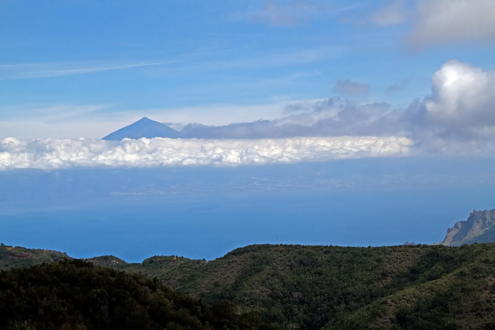
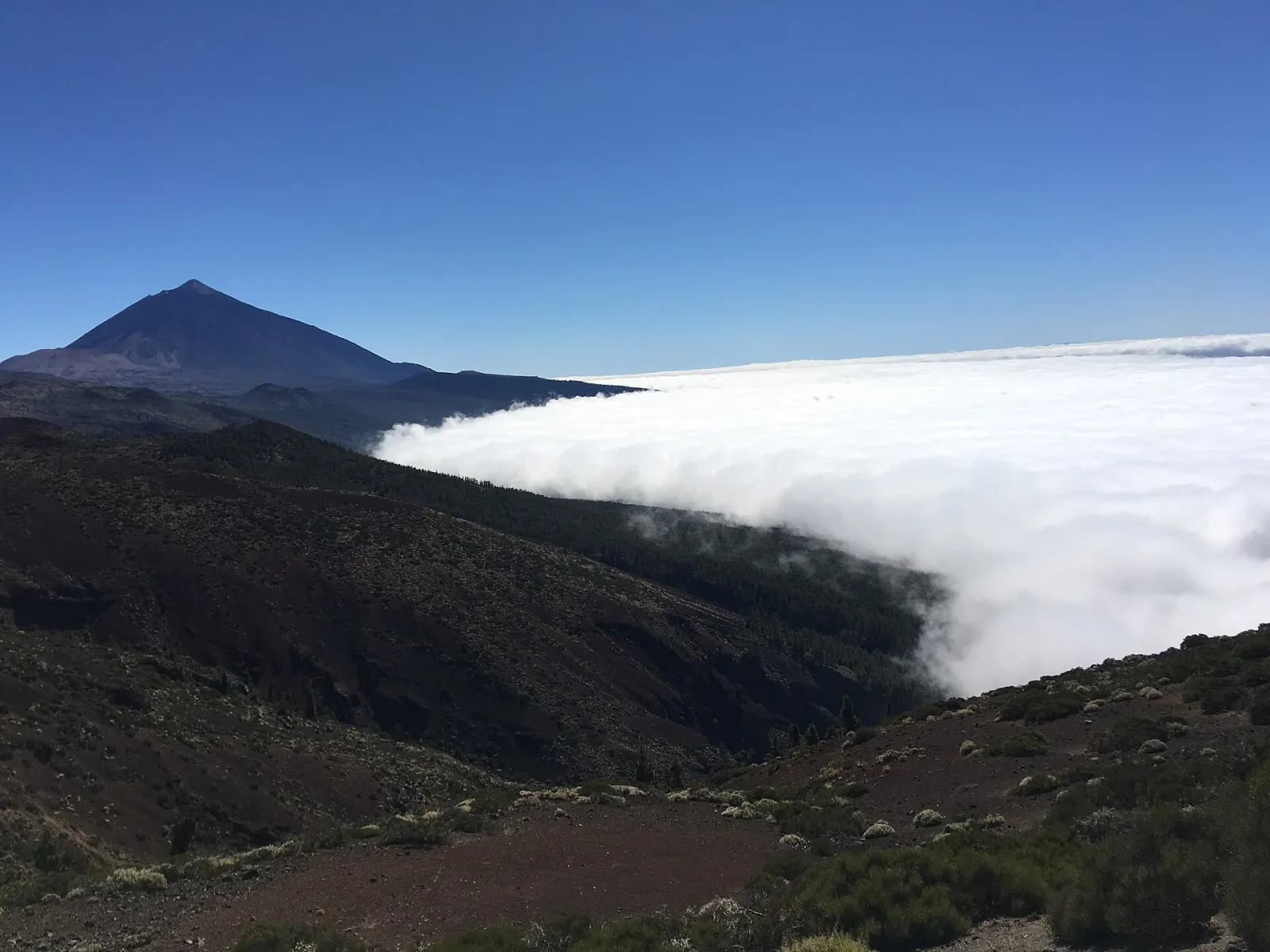
The islands sit in the path of the north-east trade winds (alisios). Moist air pushed against the mountains forms a band of low cloud on the north-facing slopes — the mar de nubes ("sea of clouds"), which forms roughly between 500 and 1,500 m. The south, in the lee of the mountains, stays drier and sunnier.
The AEMET numbers make the contrast concrete:
| Station (altitude) | January max / min (°C) | August max / min (°C) | Rain per year (mm) |
|---|---|---|---|
| Tenerife Sur airport (64 m) | 21.7 / 15.2 | 28.4 / 21.1 | 132 |
| Tenerife Norte airport (632 m) | 16.0 / 10.2 | 25.7 / 16.6 | 520 |
| Lanzarote airport (14 m) | 20.7 / 14.0 | 29.1 / 21.2 | 111 |
| Izaña (Teide area) (2,369 m) | 7.5 / 1.1 | 22.6 / 13.8 | 392 |
Tenerife Norte airport, at 632 m on the windward side, receives about four times the rain of Tenerife Sur (520 mm vs 132 mm a year) and records an average of 77.7 days of fog per year — the trade-wind cloud often sits right on the airport plateau. In practice: if it is grey in La Laguna or Puerto de la Cruz, it is often sunny on the south coast the same day, and vice versa much less often.
The same logic works between islands. The flatter eastern islands rise less into the cloud and are the driest: Lanzarote airport averages just 111 mm of rain a year. The higher western islands catch more moisture and are noticeably greener — the reason laurel forests survive in places such as La Gomera's Garajonay National Park.
How cold does it get at altitude?
Very different from the beach. At Izaña (2,369 m), close to Teide National Park, the January mean daily minimum is 1.1 °C and the mean maximum only 7.5 °C. AEMET counts on average 12.3 days of frost in January and around two days of snow per month in December–February. Even in August, nights average 13.8 °C.
What this means for a day trip:
- Bring warm layers for Teide, the cable car or a stargazing evening at any time of year; in winter add a hat and gloves.
- Above the sea of clouds the air is dry and clear — Izaña's summer relative humidity averages 25–32 % — and UV is strong, so sun protection matters even when it feels cool.
What is calima, and what should you do when it arrives?
Calima is haze made of very fine dust particles in suspension, carried from the Sahara to the islands on easterly winds. The sky turns hazy and pale yellow and visibility drops, sometimes sharply.
The Canary Islands Government's public-health service has issued advice for these episodes (note of 16 February 2021). It identifies children, older people and people with chronic respiratory or cardiovascular disease as the most sensitive groups, and recommends:
- staying indoors and keeping doors and windows closed;
- avoiding physical exercise outdoors;
- cleaning dust from surfaces with a damp cloth;
- staying hydrated and in humid environments;
- calling 112 if respiratory symptoms get worse.
For travellers the practical consequence is flexibility: postpone a long hike or a mountain viewpoint if a calima episode is forecast, and follow official notices.
How should you use this when planning?
Decide first what kind of trip you want, then where: the south and east for the most reliable sun, the north and the western islands for green landscapes and cooler walking, and the high peaks only with warm clothing. If you are still choosing an island, our comparison Which Canary Island is right for you? sets out what each one suits. And remember that averages describe the typical year — before you go, look at the forecast.