Maspalomas Dunes
Gran Canaria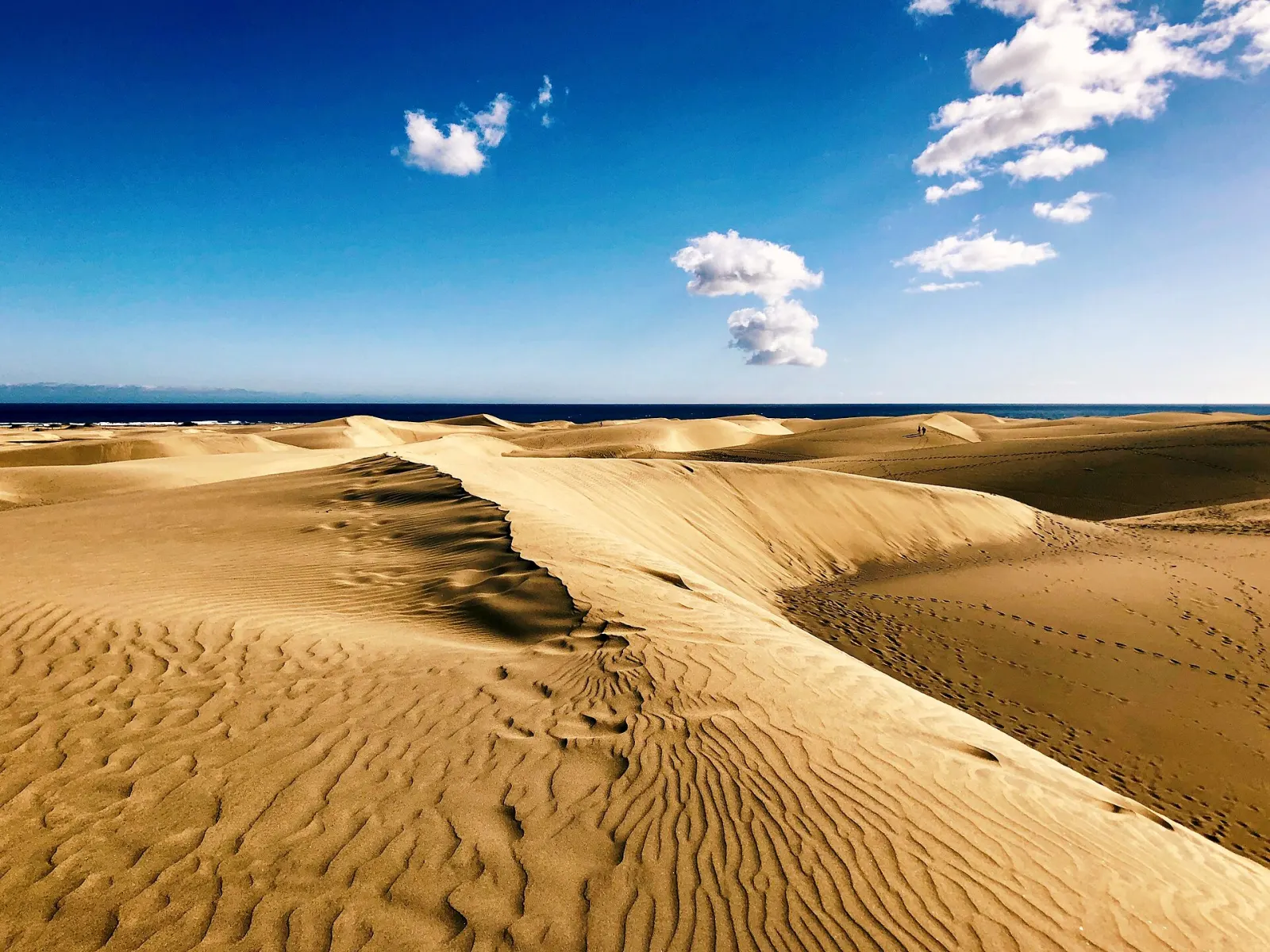
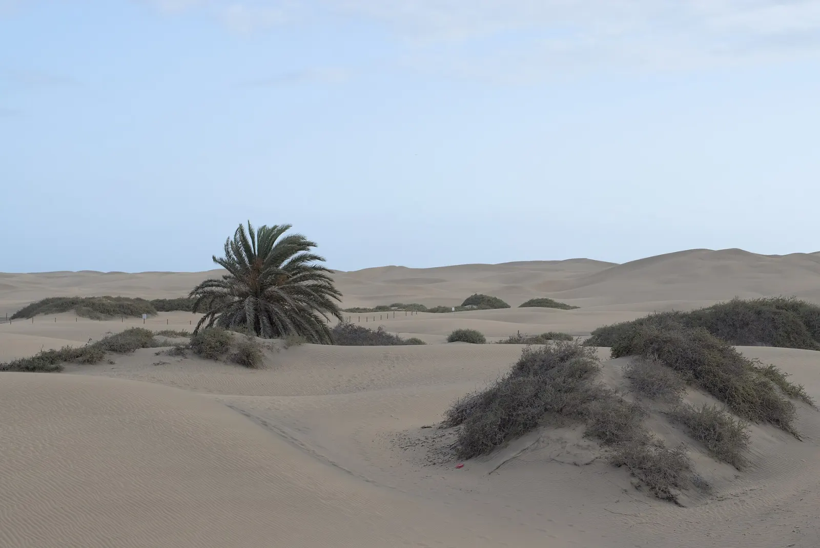
A protected field of moving sand dunes, a coastal lagoon and a palm grove covering about 404 ha on Gran Canaria's southern tip, between Playa del Inglés and the Maspalomas lighthouse. Walking is allowed only on the marked paths.
The Maspalomas Dunes are a Reserva Natural Especial of about 404 ha in the municipality of San Bartolomé de Tirajana, on the southern tip of Gran Canaria. Created as a protected area in 1987, the reserve combines a mobile dune field, the brackish Charca de Maspalomas lagoon and a palm grove, all wedged between the resorts of Playa del Inglés and Meloneras. It is free to enter, but visitors may only walk on the marked public paths.
What is protected here, and why does it matter?
The reserve protects three linked habitats. The dune system is home to specialised sand-loving plants that hold the sand in place. The Charca, at the western end next to the lighthouse, is a wetland used by migrating and resident birds. The palm grove beside it shelters the Gran Canaria giant lizard. Because the dunes sit in a resort area visited by thousands of people a day, trampling, improvised paths and litter are the main pressures on them.
Where can you walk in the dunes?
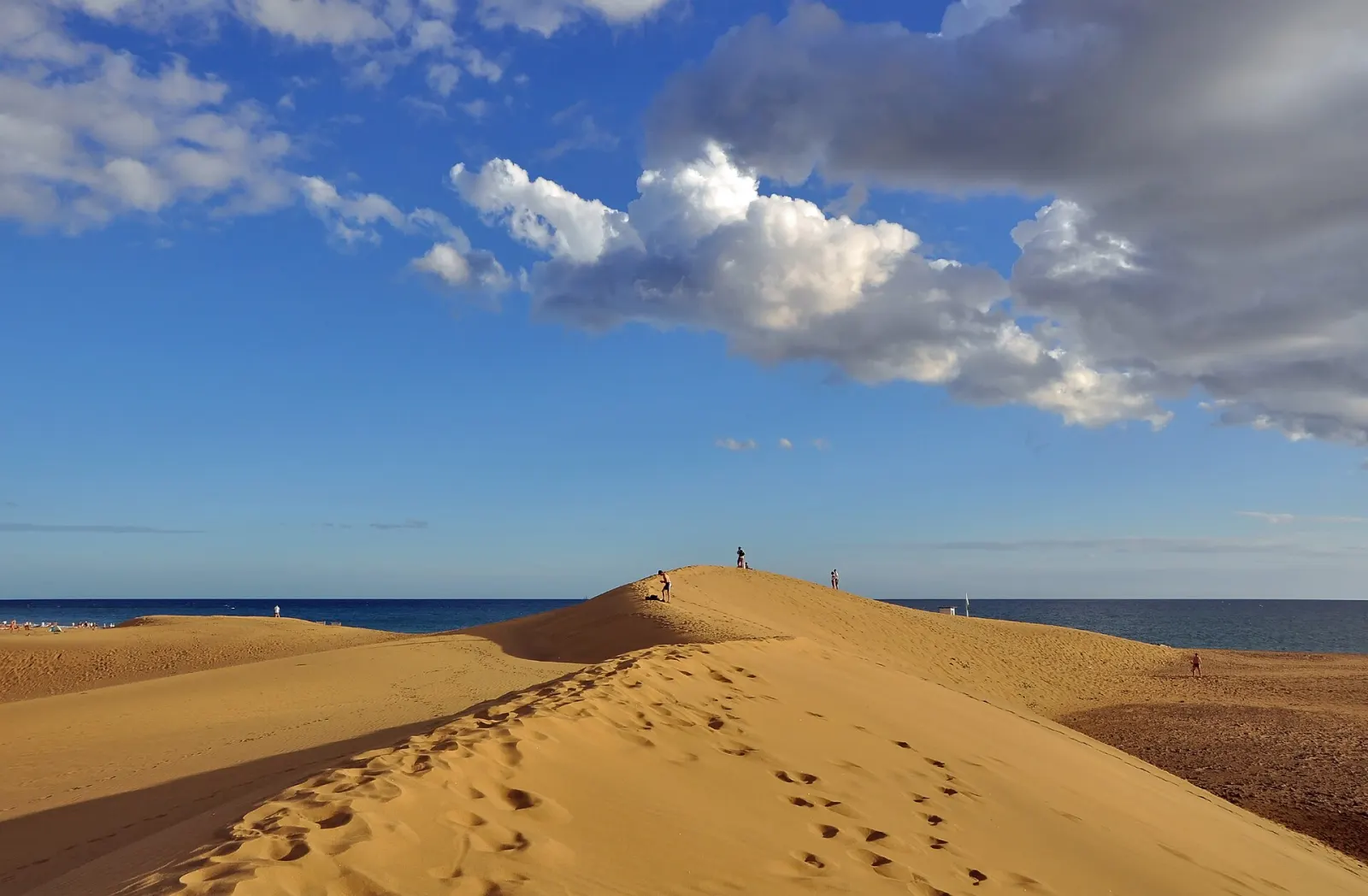
The reserve's management plan opens a network of roughly 8 km of public paths, marked with wooden posts. Everything outside them is off limits, including the tempting dune crests used for photos. Environmental officers and local police patrol the area; in 2023 the Cabildo reported 120 fines in seven months, mostly for walking or camping in restricted zones. In 2026 the Cabildo added drones, cameras, sensors and new signs, after reporting that most breaches happen around sunset.
Is it a beach as well?
Yes. The seaward edge of the reserve is Playa de Maspalomas, a long sandy beach that continues east into Playa del Inglés. Sea conditions on the south coast are usually calmer than on the north of the island, but flags and lifeguard instructions still apply.
When is the best time to visit?
Early morning is cooler and the low light shows the ripples on the sand best. Around midday the sand radiates heat and there is no shade inside the reserve, so take water, a hat and footwear that copes with hot sand. Afternoon trade winds can lift sand along the crests. Late afternoon is popular for the light, but stay on the paths: it is exactly the time when most infringements are recorded. See the weather-by-month guide for seasonal patterns, including calima days with dusty air.
How do the dunes fit into a trip to Gran Canaria?
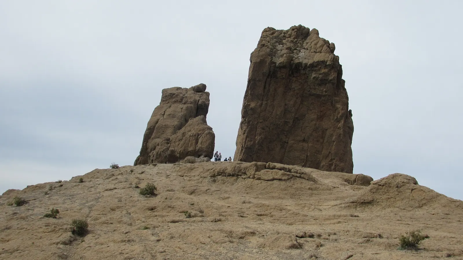
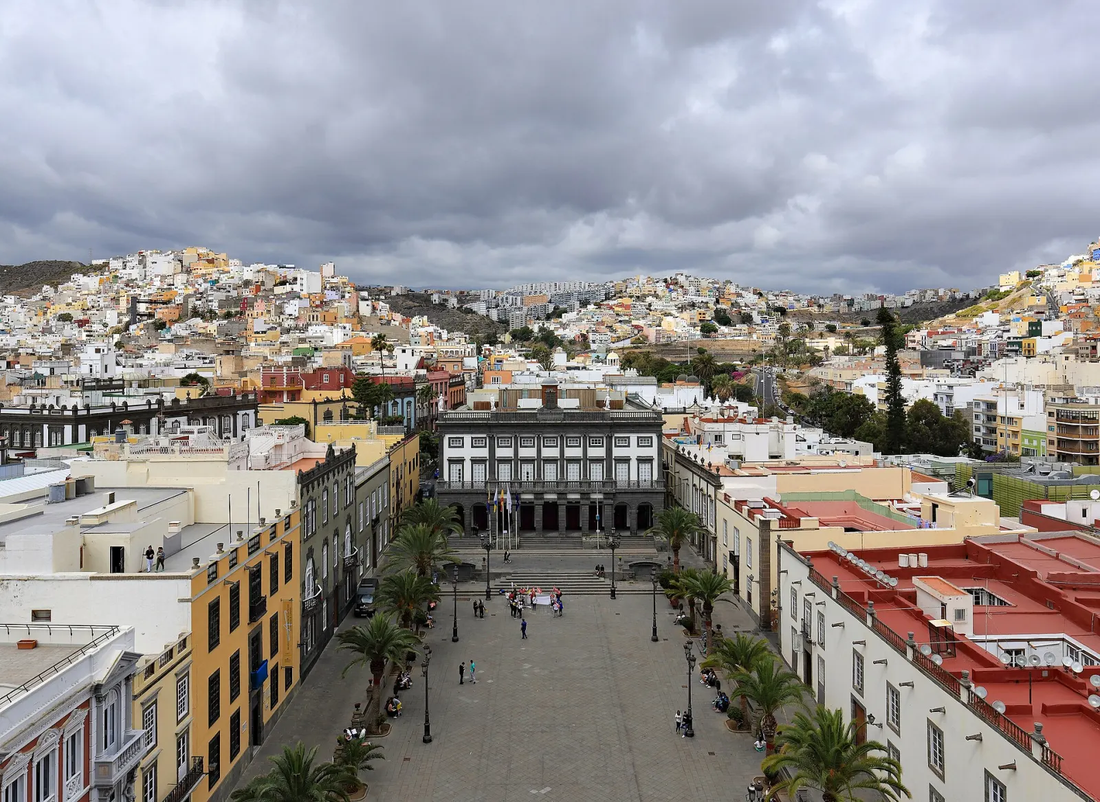
The dunes sit at sea level, far below the summit landscapes of Roque Nublo, so the two make a classic contrast on the same day. In the capital, the old quarter of Vegueta completes the picture of the island. If you are comparing dune landscapes across the archipelago, the Corralejo Dunes on Fuerteventura are larger and far less built-up around the edges.
Don’t miss
Know before you go
- Stay on the posts-marked paths. Walking or camping off them is fined; patrols, drones and cameras monitor the reserve.
- Carry water and cover up. There is no shade inside the reserve and the sand gets very hot around midday.
- Go early for light and calm. Morning is cooler and less windy; afternoon trade winds blow sand along the crests.
Getting there
The reserve lies between Playa del Inglés and Meloneras, reached by the GC-1 motorway from Las Palmas and the airport and then the resort roads; you can enter on foot from the Playa del Inglés side or from the Faro de Maspalomas end. Global buses to Faro de Maspalomas include lines 30 (direct from Las Palmas Santa Catalina), 50 (Las Palmas) and 66 (direct from Gran Canaria Airport); check times at guaguasglobal.com.