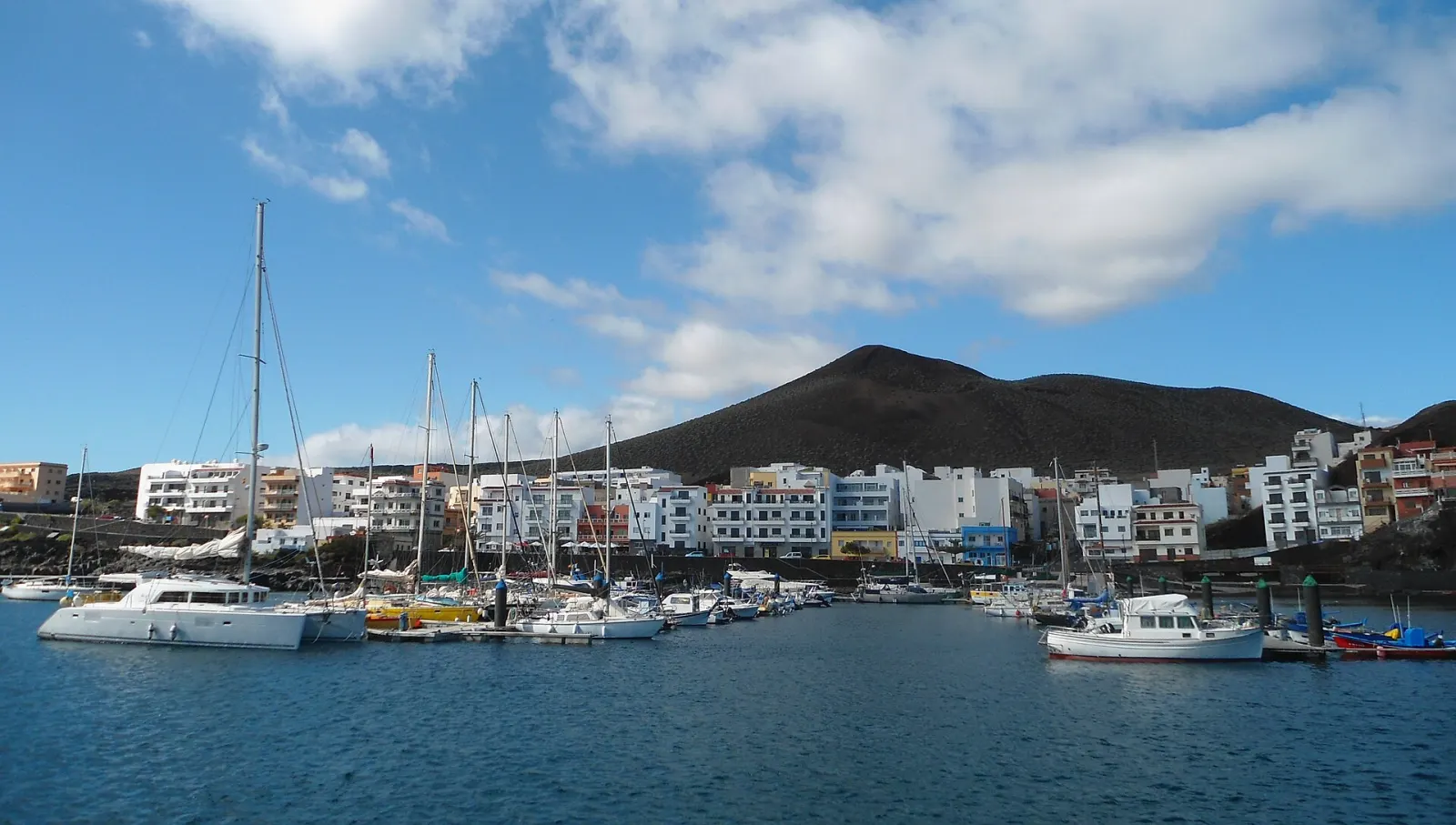
Ruta de los Volcanes (GR 131 stage 3)
El Paso · Mazo · Fuencaliente (Cumbre Vieja), La Palma A full day (about 23.7 km one way)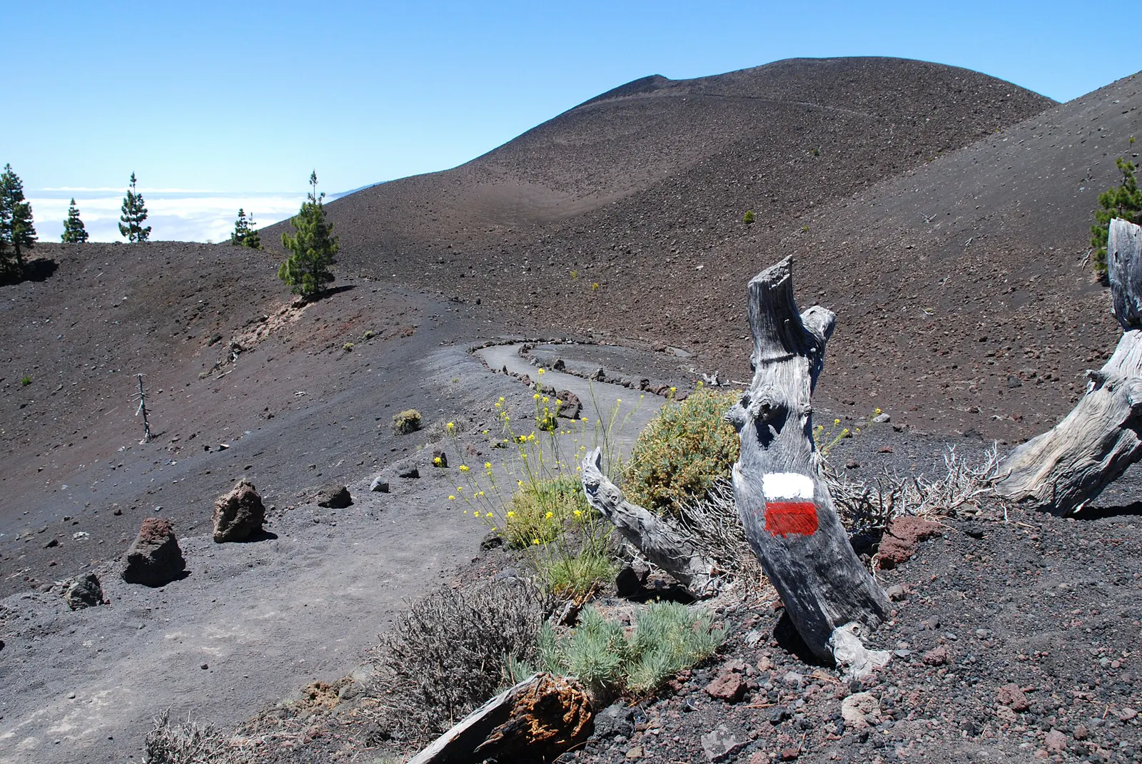
About 23.7 km along the Cumbre Vieja ridge from the Refugio del Pilar to Fuencaliente, past volcanoes of 1949 and 1646. High difficulty, one way: you need a second vehicle or a taxi.
The Ruta de los Volcanes is La Palma's best-known long walk. The Cabildo de La Palma's trail website lists it as GR 131 stage 3, Refugio del Pilar to Fuencaliente, about 23.7 km, rated high difficulty and trending downhill after a considerable climb at the start. It follows the Cumbre Vieja ridge past more than half a dozen volcanic cones, including those of the 1949 and 1646 eruptions, and ends in the wine village of Los Canarios. It is a one-way route, so you need a second vehicle or a taxi.
How long and how hard is the Ruta de los Volcanes?
Two official sources give different lengths, so read the numbers with care. The Cabildo's trail site (senderosdelapalma.es) gives 23.70 km for the full stage to Fuencaliente. An older tourism leaflet produced with the Federación Canaria de Montañismo gives 17.5 km, with altitudes between 725 m (Fuencaliente) and 1,932 m (the ridge), a surface mixing trail, forest track and asphalt, and about five hours for that shorter version. For the stage as the Cabildo describes it, plan a full day rather than half of one.
Both sources rate it high difficulty. The Cabildo says it is for trained hikers: the first part climbs considerably, after which the route is downhill overall, with sun, wind and little shade on the exposed sections.
Where does it start and end?
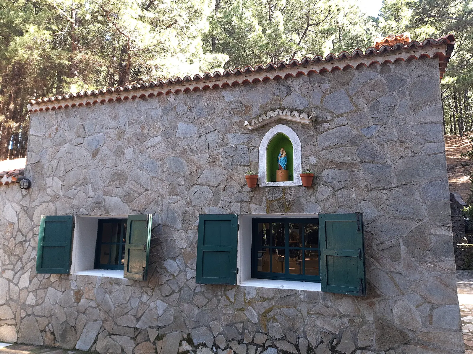
The route starts at the Refugio del Pilar, a large clearing on the summit ridge that has long been a crossroads of paths on the island's southern spine; the leaflet says the refuge has an interpretation centre for the route. According to elDiario.es, you reach it by the LP-301 from San Isidro (Breña Alta). It ends in Los Canarios, the centre of the municipality of Fuencaliente.
Because the walk is linear, the Cabildo's trail page says a support vehicle is needed or a taxi can be booked, and the leaflet lists private vehicle and taxi as the means of transport. Mobile coverage is described as intermittent.
What will you see along the way?
The leaflet names the main stops, and they make a compact lesson in recent volcanism:
- Mirador Birigoyo: a view over the Los Llanos de Aridane valley, the Cumbre Nueva arch and the Bejenado volcano that closes the Caldera de Taburiente.
- Hoyo Negro and the 1949 fault: the main vent of the eruption known as the San Juan volcano, which began on 24 June 1949 and continued until 31 July; the Hoyo Negro vent opened on 12 July. A footbridge crosses a fault caused by the earthquakes of that eruption.
- El Duraznero: one of the most representative cones, at almost 1,900 m, with a lava lake that overflowed towards the east coast.
- Las Deseadas: at 1,945 m the highest volcano of Cumbre Vieja, not linked to a historic eruption.
- Volcán Martín (Martín de Tigalate): a 1646 eruption that lasted 82 days, with lava flowing towards the coast.
- Los Canarios: a village shaped by the 17th- and 20th-century eruptions of San Antonio and Teneguía, with many wineries and Malvasía production.
When is the best time to walk it?
The Cabildo says all year round except the hottest summer days, and advises starting around 09:00 to avoid the hottest hours on the most exposed sections. In winter the page warns it can be cold, and it lists heat, lack of water and wind as causes of dehydration. Because you start on the high ridge and finish low, conditions at the two ends can be quite different: dress in layers.
Do you need a permit, and is the trail open?
Neither the Cabildo's stage page nor the leaflet lists a permit for walking this route (the permit the leaflet mentions concerns the camping area inside the Caldera). The route runs through the Cumbre Vieja Natural Park, the Teneguía Volcanoes Natural Monument and the Las Salinas de Fuencaliente site of scientific interest, so follow signs and keep to the path.
The route was closed after the island's volcanic eruption and reopened, according to the Cabildo's tourism department as reported by elDiario.es in May 2022. The Cabildo now keeps a trail status page: check it, and the AEMET warnings, on the day. When checked on 1 November 2026 the stage was listed as open.
What should you carry?
The Cabildo recommends trekking boots rather than trainers, plenty of water and food, waterproofs and warm clothing, a hat, sunglasses and sunscreen, and a fully charged phone. Do not walk alone and tell someone your route and expected arrival time. Emergency number: 112; the island's emergency coordination centre (CECOPIN) is 922 43 76 50.
What can you combine it with?
The walk sits on the same ridge that separates La Palma's two sides, so it pairs naturally with the island's other big hike, the Caldera de Taburiente, in a separate day. For the wider picture of the island, see La Palma.
Know before you go
- Check the trail status first. The Cabildo de La Palma publishes a trail status page at senderosdelapalma.es; check it and AEMET warnings on the day.
- Arrange the return before you start. The route is one way; the Cabildo says a support vehicle is needed or a taxi can be booked.
- Start around 09:00. The Cabildo advises this to avoid the hottest hours on the exposed sections, and warns against starting too late.
- Carry all your water. The Cabildo lists heat, lack of water and wind as causes of dehydration; bring plenty of water and food.
More things to do
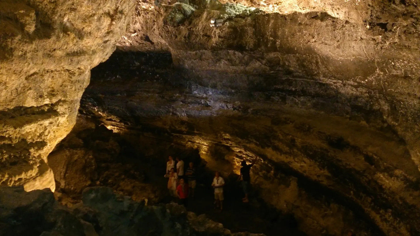
Cueva de los Verdes
Malpaís de la Corona · Haría (Arrieta–Órzola road) · Lanzarote About 50 min
Garajonay laurel forest walks
Garajonay National Park · Contadero · Raso de la Bruma · La Gomera 40 min to 7 h depending on route